


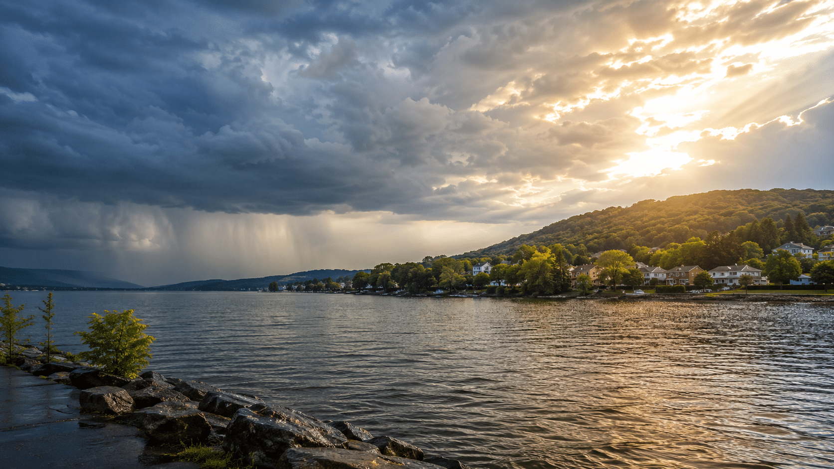
The new workweek is starting damp, gray and unsettled across much of the Finger Lakes and Central New York, with the best chance for steady rain focused across the Southern Tier and areas closer to the Pennsylvania border.

A stalled frontal boundary just south of the region will keep showers in the forecast through Tuesday. The heaviest rain should stay south of the Thruway corridor, but parts of the Southern Tier, Twin Tiers and southern Catskills could see periods of heavy rain before the system finally pulls away.
For most of the Finger Lakes, this will not be a washout everywhere at all times. But it will be the kind of Monday where clouds dominate, scattered showers come and go, and outdoor plans need flexibility.
Monday starts unsettled across the Finger Lakes
Monday will feature mostly cloudy skies and occasional showers, especially from the Southern Tier into the Finger Lakes.
The steadiest rain is expected across southern parts of the region, including areas closer to Steuben, Chemung, Tioga and Broome counties. Farther north, including places like Rochester, Wayne County and the northern Finger Lakes, showers should be more scattered and less persistent.
A few thunderstorms may develop during the day. Any thunderstorm that forms could produce brief heavy rainfall, especially where storms move slowly or track over the same areas.
Temperatures will stay held down by the clouds and rain. Most areas will top out in the 70s, making Monday cooler than the hot and humid weather that settled over the region at times last week.
The main concern Monday is not severe weather. It is localized heavy rain. The atmosphere is loaded with moisture, and storms will be capable of producing intense rainfall rates where they develop. The highest flash flood risk remains south of the core Finger Lakes region, but low-lying and poor-drainage areas should still be watched closely.
Rain slowly tapers Monday night into Tuesday
Showers will continue Monday night, though coverage should gradually decrease from northwest to southeast as the weak low pressure system begins to move away.
Some areas could still see lingering rain, fog or mist overnight. Conditions may be especially dreary across the Southern Tier, where low clouds and reduced visibility could continue into early Tuesday.
Tuesday will not be perfectly dry. The upper-level trough responsible for the unsettled pattern will still be nearby, and that should allow isolated to scattered showers or thunderstorms to redevelop during the day.
The difference is that Tuesday’s rain should be more scattered and less organized than Monday’s. By Tuesday night, high pressure and drier air should finally begin taking over.
Highs Tuesday will again be seasonable to slightly cool, mainly in the 70s. Skies will likely remain mostly cloudy for part of the day before some improvement late.
Wednesday looks like the week’s quietest day
Wednesday should bring the most comfortable and reliable weather of the week.
High pressure will build in, allowing for mainly dry conditions across the Finger Lakes and Central New York. A stray pop-up shower cannot be completely ruled out, but most communities should get through the day dry.

Skies should turn partly to mostly sunny, and temperatures will rebound into the upper 70s and mid-80s.
Humidity should remain manageable compared to what is expected later in the week. For anyone trying to get outdoor work done, mow, travel, boat or squeeze in lake time, Wednesday looks like the best day of the five-day stretch.
Morning fog could be an issue in the usual valleys, especially across the Southern Tier and around areas that pick up heavier rain Monday. Once that burns off, conditions should improve quickly.
Thursday turns warmer and more humid
Thursday will likely be the warmest day of the week.
The day should begin dry across much of the region, with a warmer and more humid air mass building into the Finger Lakes and Central New York. Highs should climb well into the 80s in many locations.
The main question is timing. Forecast guidance shows a cold front approaching from the west later Thursday into Friday. If that front arrives during the afternoon or early evening, showers and thunderstorms could develop during peak heating.
That would raise the risk for stronger storms, especially if enough instability builds during the day. If the front arrives later Thursday night or early Friday, the severe weather risk would be lower, but showers and storms would still be possible.
For now, Thursday looks dry for the first half of the day, then increasingly unsettled late.
Friday brings another chance for storms
Friday’s forecast depends heavily on how quickly Thursday’s front moves through the region.
If the front is slower, showers and thunderstorms could continue into Friday, especially during the morning and midday hours. If it moves through earlier, Friday could turn drier sooner with improving conditions later in the day.
Either way, the late-week pattern looks warmer and more humid than the start of the week. Temperatures should remain near or above normal, with highs generally in the upper 70s to 80s depending on cloud cover and storm timing.
Boaters and anyone with outdoor plans Thursday or Friday should keep checking the forecast. Thunderstorms could bring brief downpours, gusty winds and dangerous lightning, even if widespread severe weather does not materialize.
What to watch this week
The biggest weather concern through Tuesday morning is heavy rain south of the Finger Lakes, especially across the Southern Tier, northeast Pennsylvania and the southern Catskills. The exact placement of the heaviest rain remains uncertain, but localized flooding is possible where the heaviest bands set up.
For the core Finger Lakes, the week starts gray and unsettled, improves by Wednesday, then turns warmer and more humid before the next front brings shower and storm chances late Thursday into Friday.


FingerLakes1.com is the region’s leading all-digital news publication. The company was founded in 1998 and has been keeping residents informed for more than two decades. Have a lead? Send it to news@fingerlakes1.com.