

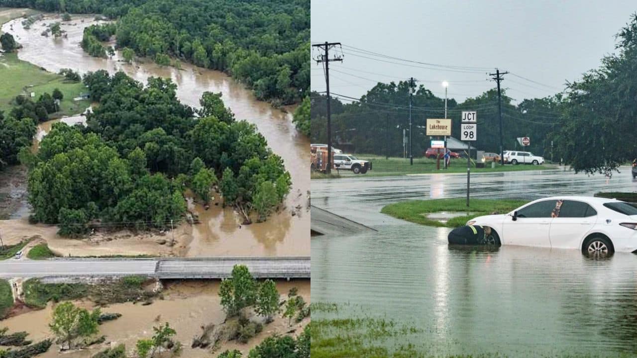
Storms have saturated the ground, allowing water to pool more easily on roadways and in low-lying neighborhoods, creating dangerous conditions for drivers and pedestrians. Local officials are still monitoring high water levels and encouraging residents to avoid flooded roads and stay vigilant as fresh rain continues to move across the region. The major concern is still the flash flooding in Southeast Texas. Rain bands are continuing to come over the same locations, raising the threat of a rapid water rise. Emergency workers were called to numerous flooded streets, and transportation officials cordoned off several routes to safeguard drivers. Travel in the affected areas could be difficult as weather forecasts warn that localized floods could worsen if thunderstorms regularly develop over already saturated locations.
 Atlantic Hurricane Activity Begins to Increase as Forecasters Monitor New Tropical Development
 Southeast Texas Flooding Causes Multiple Road Closures
Authorities closed many highways after heavy rain inundated major intersections and low-water crossings with water. Motorists are advised to look for alternative routes and never attempt to drive across floodwaters, as even shallow water can wash vehicles away or disguise damage to the road below. Officials said the flooding spread rapidly in some places because the storms brought heavy rain in a short period. Emergency management staff continue to monitor conditions and are ready to respond should more closures be required.
Heavy Rains Continue to Raise Flood Risk
Meteorologists said moderate to heavy rain is expected to persist in spots across Southeast Texas, keeping the flood threat elevated. Much of the region is already saturated, and additional rains could lead to flash flooding with little notice.
Residents near creeks, bayous, and flood-prone areas are urged to pay attention to local weather reports and be prepared to move to higher ground if conditions worsen. Repeated thunderstorms can cause rapid increases in water levels, especially at night when visibility is impaired.
Officials Urge Residents to Stay Off Flooded Streets
Emergency officials emphasize that travel should be avoided during the storm unless it is absolutely necessary. Flooded roadways are one of the deadliest dangers during heavy rain, as drivers can’t correctly gauge how deep the water is or what damage is lurking below the surface.
Safety officials suggest taking the following precautions:
- Never drive onto flooded highways.
- Stay up to date on weather alerts and local emergency announcements.
- Be prepared for power outages with emergency supplies.
- Don’t walk through moving floodwater.
- If safe, report dangerous conditions to the local authorities.
These basic steps can greatly lower the chance of injuries in quickly changing weather conditions.
Southeast Texas Weather Outlook
Scattered showers and thunderstorms are forecast to persist into the next few days, so localized flooding may still be possible when the heaviest rain begins to subside. Areas that get multiple bouts of rain will be at highest risk for additional flash flooding. Emergency officials will continue to monitor rivers, drainage systems, and road conditions and will continue to advise residents to stay cautious. The severity of rainfall could differ in the region, but experts caution that conditions can worsen rapidly, stressing the need to stay updated with reliable local weather forecasts and emergency warnings.

Akash Negi focuses on weather coverage that helps readers stay prepared, from daily forecasts and seasonal changes to storm alerts, temperature shifts, and weather-related updates. His reporting provides clear and timely information for people planning their day, travel, and local activities.