

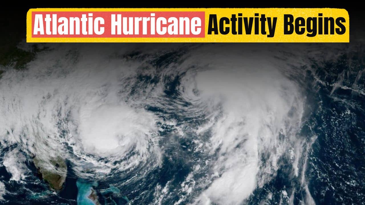
The Atlantic hurricane season is showing new signs of life as meteorologists monitor a new area of unsettled weather over the tropical Atlantic. A rather tranquil period is ending, and the atmospheric pattern is becoming more favorable for storm development, drawing interest over the Caribbean, Gulf Coast, and portions of the southeastern United States. Weather experts say there are no immediate concerns confirmed, but this is the time of year when tropical activity normally starts to ramp up, so early monitoring is extremely crucial.
 Southeast Texas Flash Flooding Forces Road Closures as Heavy Rain Continues Across the Region
 Forecasters Eye Developing Tropical Disturbance
Meteorologists at the National Hurricane Center are studying a low-pressure system related to a tropical wave a few hundred miles east of the Lesser Antilles. It has not yet developed a well-defined circulation, but the system is bringing isolated showers and thunderstorms.
“Some slow development is possible during the next several days while the disturbance moves westward to west-northwestward. Environmental conditions are predicted to become more conducive with warm ocean waters giving energy for possible strengthening. However, dry air and certain upper-level winds could still inhibit or exclude considerable development.”
At this point, forecasters stress the disturbance is still in early stages of development and its future track and strength are undetermined.
Why Tropical Activity is Picking Up
The Atlantic basin tends to be more active during the second half of July as seasonal weather patterns change. Sea surface temperatures are above average across much of the tropical Atlantic, supporting circumstances favorable for the development of tropical cyclones.
Also, periods of lower wind shear allow thunderstorms to organize more effectively around developing low-pressure systems. These variables often signal the start of the most active part of the hurricane season, which usually peaks from mid-August to October.
“Not every tropical wave turns into a named storm, but more activity is common this time of year so constant monitoring is key,” climate scientists say.
No Immediate Threat, But Preparedness Still Important
However, forecasters emphasize that the increased focus does not mean there is any imminent threat to coastal areas from the current disruption. The system is still far from land and its future development could change dramatically over the next few days.
Storm-prone area residents are urged by disaster management officials to evaluate their storm preparedness plans, check their emergency supplies, and remain up-to-date on official weather forecasts. “Early preparation helps to mitigate risks if tropical systems ramp up later in the season.”
Forecast confidence usually improves with greater organization of disturbances because weather can change swiftly throughout the Atlantic.
Atlantic Hurricane Season Outlook
The Atlantic has moved into a better part of hurricane season for tropical formation, and more chances are likely in the weeks ahead. Forecasters will be looking at the current disturbance, along with new tropical waves coming off Africa.
It’s too early to know if this system will become the next named storm, but its growth is a warning that hurricane season is approaching a busy period. The greatest way communities can prepare for changing weather conditions is to stay updated with official forecasts and preparedness recommendations.

Akash Negi focuses on weather coverage that helps readers stay prepared, from daily forecasts and seasonal changes to storm alerts, temperature shifts, and weather-related updates. His reporting provides clear and timely information for people planning their day, travel, and local activities.