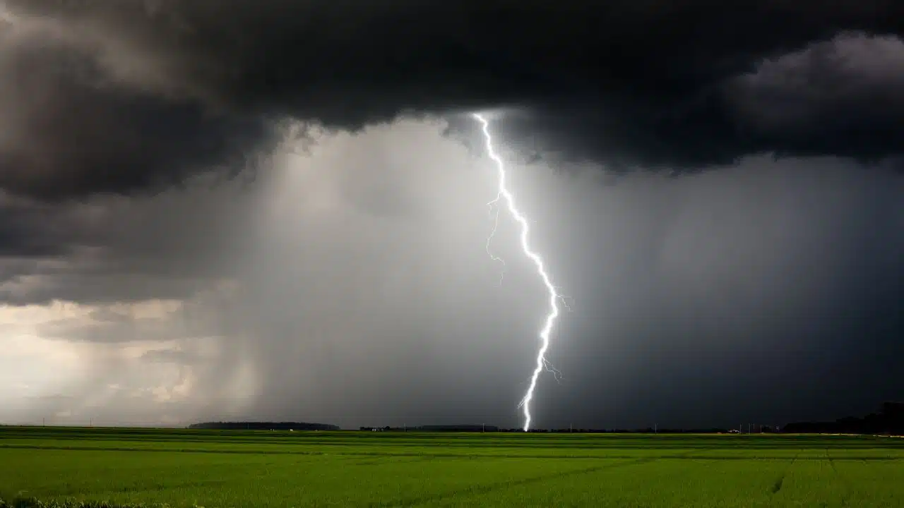
Warm air will surge across the Finger Lakes and Central New York on Tuesday as a pair of shower and thunderstorm rounds crosses the region, followed by a steadier midweek cooldown and a much sharper turn toward cold, windy weather late Friday into Saturday.

The most widespread storms are expected closer to the Thruway and across northern parts of the region, while the Southern Tier may see longer dry breaks and highs near 80, according to the National Weather Service offices in Buffalo and Binghamton. A strong cold front later in the week will then bring widespread rain, gusty winds and the season's first chance for lake-effect rain and wet snow showers.

Tuesday turns warm and unsettled
A warm front lifting north Tuesday morning will bring the first round of showers and a few thunderstorms across the Finger Lakes and Central New York. Rain will not fall continuously in every community, but Geneva, Rochester and Syracuse have a higher chance of seeing morning showers than areas farther south toward Elmira.
The morning activity should move through from west to east, with a break possible around midday. Partial clearing behind the warm front will allow temperatures to rise quickly, reaching the upper 70s to near 80 in many lower-elevation locations. The Southern Tier has the best chance for longer periods of sun and a mostly dry afternoon.
Another round of scattered showers and thunderstorms may develop Tuesday afternoon as low pressure passes north of the region. The focus should remain generally near the Interstate 90 corridor and points north, though a storm could drift farther south into the Finger Lakes.
There is a marginal, level 1 of 5, severe weather risk across northern areas. An isolated storm could produce damaging wind gusts, but both the expected coverage and strength of that threat remain limited. The amount of afternoon clearing will help determine whether storms have enough instability to become organized.
Rainfall will also vary sharply over short distances. Current forecasts call for roughly one-tenth to one-quarter inch around Rochester and Geneva, with one-quarter to one-half inch possible near Syracuse, while communities farther south may receive little rain.
South to southwest winds will generally run 5 to 12 mph, with occasional gusts near 20 mph across some of the higher terrain and Southern Tier. The air will feel unseasonably mild and more humid than it has in recent days, with afternoon temperatures running well above normal for mid-October.
Showers and thunderstorms should diminish Tuesday evening as the surface low moves east. Skies will remain partly to mostly cloudy overnight, with lows holding in the upper 50s and lower 60s across much of the region.
Cooler air filters in Wednesday
The front will be slow to clear Central New York on Wednesday, leaving a chance for a few light showers during the day. Most of the rain should be brief, but clouds may linger even after the showers end.
Wednesday will be noticeably cooler, though the deeper cold will still be several days away. Highs should range from the mid-60s around Rochester and Syracuse to near 70 in the Finger Lakes and lower 70s across parts of the Southern Tier.
A west to northwest breeze will begin drawing in drier air. Temperatures Wednesday night will fall into the mid-40s in many communities as the front finally settles south and high pressure approaches from the Great Lakes.

Thursday brings a quiet break
Thursday is expected to provide the calmest weather of the week. High pressure will bring partly to mostly sunny skies, lower humidity and seasonable afternoon temperatures from the upper 50s to mid-60s.
The cooler start and northeast breeze will keep temperatures well below Tuesday's readings. Clouds will begin increasing again late in the day as the next low-pressure system approaches from the west.
Rain is expected to spread into the region Thursday night, becoming more widespread by early Friday. Overnight temperatures will remain in the 40s as winds turn to the southeast ahead of the storm.
Widespread rain and stronger winds Friday
Friday will bring another major weather change as strengthening low pressure crosses the Great Lakes and sends a sharp cold front through New York. Widespread rain is likely across the Finger Lakes and Central New York, with highs generally in the lower to mid-60s before colder air arrives.
Southwest winds will increase ahead of the front, then turn sharply to the northwest behind it. Gusts could reach 30 to 35 mph in some areas Friday afternoon or evening, though confidence is still lower on the exact track, strength and timing of the system.
Rain will continue behind the front Friday night as temperatures drop through the 40s and into the 30s. The changeover from steady rain to lake-effect precipitation will begin as much colder air pours across the relatively warm Great Lakes.
Rain and wet snow showers possible Saturday
Saturday is expected to be the coldest day of the forecast, with highs mainly in the 40s and persistent northwest winds. Lake-effect rain showers may mix with wet snow, especially across higher elevations and areas southeast of the lakes.
Confidence is increasing that at least some wet snow will occur, but confidence in placement and accumulation remains low. Daytime temperatures and relatively warm ground will work against accumulation in most lower-elevation communities.
Higher terrain would have the best chance for a coating or localized accumulation if a stronger lake-effect band develops. A more persistent, heavier band could produce 2 to 3 inches in a narrow area, but that remains a conditional possibility rather than the most likely regional outcome.
The lake-effect showers should diminish later Saturday as high pressure builds into the region. Skies will begin clearing Saturday night, allowing temperatures to fall into the upper 20s and lower 30s across colder valleys and higher terrain, with lower to mid-30s elsewhere. Some locations could see their first widespread freeze of the season.
Sunday should turn dry and mostly sunny as high pressure settles overhead. Afternoon highs are expected to recover into the mid-50s, returning closer to seasonal levels after Saturday's abrupt chill.

Check the latest forecast at the FingerLakes1.com Weather Center.

FingerLakes1.com is the region’s leading all-digital news publication. The company was founded in 1998 and has been keeping residents informed for more than two decades. Have a lead? Send it to news@fingerlakes1.com.