


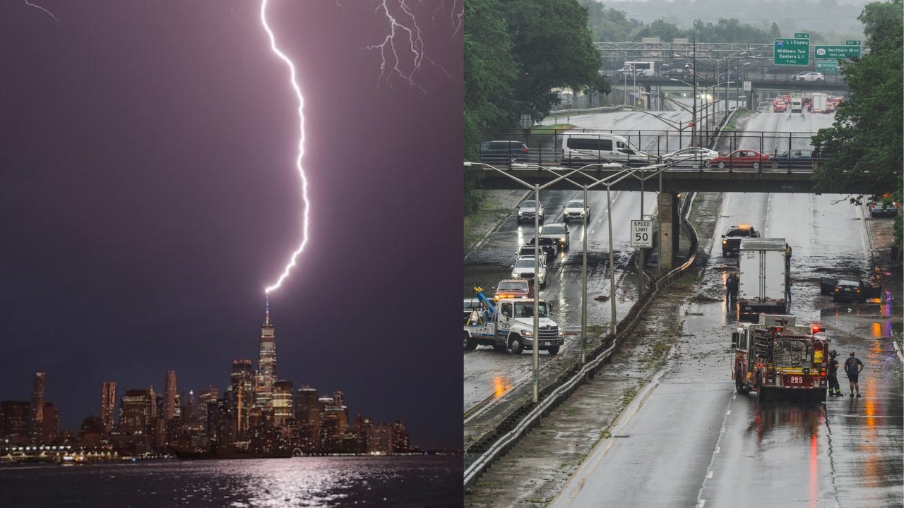
A severe stretch of weather is moving toward New York City and Long Island, and residents are bracing for heavy rain and strong thunderstorms. Meteorologists warn that repeated rounds of rain could soon swamp streets, highways, subway stations, and low-lying neighborhoods. A few days of unstable weather may occur in parts of the Northeast, and the risk for flash flooding on saturated ground will grow, making travel riskier. Emergency officials are asking people to stay aware and not travel unless it is necessary when it is raining heavily.
The Flash Flood Warning for NYC and Long Island is in effect as forecasters are expecting rainfall rates of up to 2 inches an hour, with isolated places seeing much greater totals if storms go over the same area multiple times. Flood watches continue for New York City, Long Island, and adjacent cities, and emergency crews are making preparations in the event conditions worsen, roads are closed, electricity is lost, or people need to be rescued from water.
Flash Flood Warning for NYC and Long Island
It’s not just the amount of rain, but how fast it might come down, weather experts say. Slow-moving thunderstorms can dump a lot of rain, and in a city where the storm drains can’t handle the water, flash flooding can happen very quickly. Moisture continues to feed into the storm system, putting parts of New York City, Long Island, southern Connecticut, and northeastern New Jersey at the highest flood risk.
Rain May Cause Travel Troubles Across Region
The storm is likely to hamper both road and public transit throughout the day. Flooded intersections, poor visibility, and water accumulation along major roadways might make for risky driving conditions. Transit officials are also keeping an eye on subway stations and rail lines that have flooded in prior storms.
Travelers are urged to verify local conditions before leaving home and to allow extra time for their travels. Thunderstorms across the region also could delay flights to and from the New York metropolitan area.
Officials Call on Residents to Stay Prepared
State and city officials launched emergency response preparations ahead of the worst weather. Crews have been flushing out storm drains, checking places that are prone to flooding, and getting emergency supplies ready for where they may be needed most. “Please heed official weather advisories and do not drive through flooded roadways, as even a small amount of moving water can be deadly,” Governor Kathy Hochul said.
People in basement apartments or neighborhoods prone to flooding have been told to stay alert and be prepared to move to safer locations if ordered to evacuate. Emergency shelters have also been set up in case flooding drives locals from their houses.
Storm Threat May Persist Until Tuesday
Forecasters say heavy rain should continue on Tuesday before conditions progressively improve. Rainfall amounts will be quite variable; however, many regions may see 2–4 inches of rain, with isolated spots receiving higher amounts where thunderstorms repeatedly develop over the same communities. That increases the threat of more flash flooding, especially in locations that will have numerous rounds of rain.
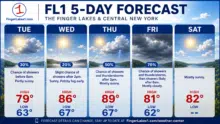
Residents are urged to watch weather alerts, avoid flooded areas, and never attempt to drive through standing water. As this major storm system passes across New York City, Long Island, and the Northeast, your best bet will be to stay informed with official predictions and emergency alerts to keep you safe.

Akash Negi focuses on weather coverage that helps readers stay prepared, from daily forecasts and seasonal changes to storm alerts, temperature shifts, and weather-related updates. His reporting provides clear and timely information for people planning their day, travel, and local activities.