

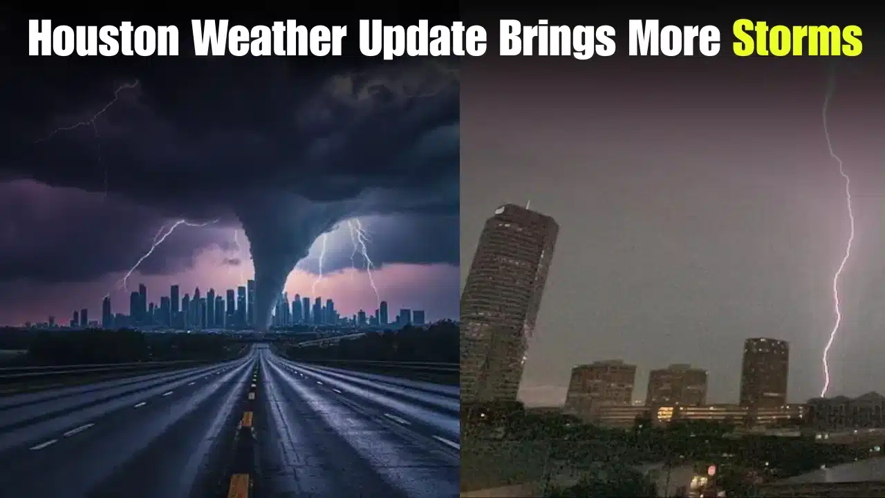
Thunderstorms are still developing across Southeast Texas, with residents across Houston prepping for yet another round of unpredictable weather. After several days of heavy rain and humidity, forecasters predict the region is not through with storm activity. Scattered storms might bring torrential downpours, lightning, gusty winds, and localized street flooding during the next couple of days, though widespread severe weather is not forecast for every neighborhood. Drivers, outdoor workers, and anyone with travel plans are urged to stay tuned, as conditions might change fast during the day.
 Flash Flood Warning Issued as New York Faces Dangerous Flood Risk, Here's What Residents Should Do
 Houston Weather Forecast
The latest Houston weather forecast shows heat and abundant Gulf moisture will continue to fuel afternoon and evening thunderstorms. The best chances for rain will be during the hottest portion of the day when instability is highest, meteorologists say. Localized ponding on roadways and decreased visibility for vehicles are possible with brief but heavy rain in some areas. While many areas may only see a brief storm, isolated neighborhoods could receive far higher rainfall totals in a short time.
More Storms to Sweep Across the City
The current trend is being driven by a combination of tropical moisture and a slow-moving air disturbance, weather experts say. This configuration allows thunderstorms to form over the same basic locations.
Main weather issues include:
- Heavy rain could lead to localized flooding.
- Frequent lightning in the more severe thunderstorms.
- Minor traffic impacts owing to limited visibility.
- Scattered power disruptions with severe storms.
Residents are asked to remain vigilant, especially during the afternoon and evening hours when storm coverage is predicted to grow.
Flooding Risk Still an Issue
Not every area will see floods, but the ground has become so saturated in some places that any extra rain could cause issues in a hurry. Low-lying streets, underpasses, and poor drainage regions are the most vulnerable areas.
 San Andreas Fault Reaches Highest Seismic Tension in 1,000 Years as Scientists Issue New Warning
 Emergency officials are urging people to avoid flooded streets, as it can be hard to determine water depth. Drivers should not try to drive across standing water, especially when it is raining hard and the water can rise quickly. Those in flood-prone neighborhoods should be on the lookout for local weather alerts throughout the week.
What Residents Can Expect Next
Forecast models show Houston will remain in a busy weather pattern for the next several days. The threat of sporadic showers and thunderstorms will persist each day, with warm temperatures and high humidity contributing to the uncomfortable conditions.
There will also be stretches of sunshine, although those dry gaps may help feed heavier storm formation later in the day. Rainfall amounts may vary significantly from one neighborhood to another; therefore, localized forecasting will be especially crucial. If you are a resident with outdoor events planned, make contingency plans and be ready to go indoors swiftly if storms are headed your way.
Stormy Pattern Safety Advice
With changing weather conditions predicted to continue, simple steps can help lessen risks:
- Check the weather forecast before you leave home.
- Keep cell phones charged in case of power outages.
- If you hear thunder, avoid being outdoors.
- Heavy rain will impact travel times.
- Pay attention to official weather warnings and local emergency messages.
Final Summary
Houston is forecast to be in an unsettled weather pattern over the next several days with recurrent rounds of thunderstorms. Severe consequences are not expected everywhere, but heavy rain, lightning, gusty winds, and localized flooding are still possible. Residents are asked to stay informed, make any necessary adjustments to travel plans, and follow weather safety recommendations to safely navigate the shifting conditions until the storm pattern begins to ease.

Akash Negi focuses on weather coverage that helps readers stay prepared, from daily forecasts and seasonal changes to storm alerts, temperature shifts, and weather-related updates. His reporting provides clear and timely information for people planning their day, travel, and local activities.