Clouds will dominate the Finger Lakes and Central New York on Wednesday as cooler air settles into the region, with a few spotty showers possible before a widespread round of rain arrives late Thursday and continues through Friday.

Temperatures will vary from the lower 60s near Rochester and Syracuse to the upper 60s and lower 70s toward Ithaca, Elmira and the Southern Tier, according to the National Weather Service offices in Buffalo and Binghamton. The region will then face a sharp change behind Friday's storm system, with blustery conditions, highs only in the 40s Saturday and a brief chance of wet snowflakes early in the day.

Clouds and a few showers Wednesday
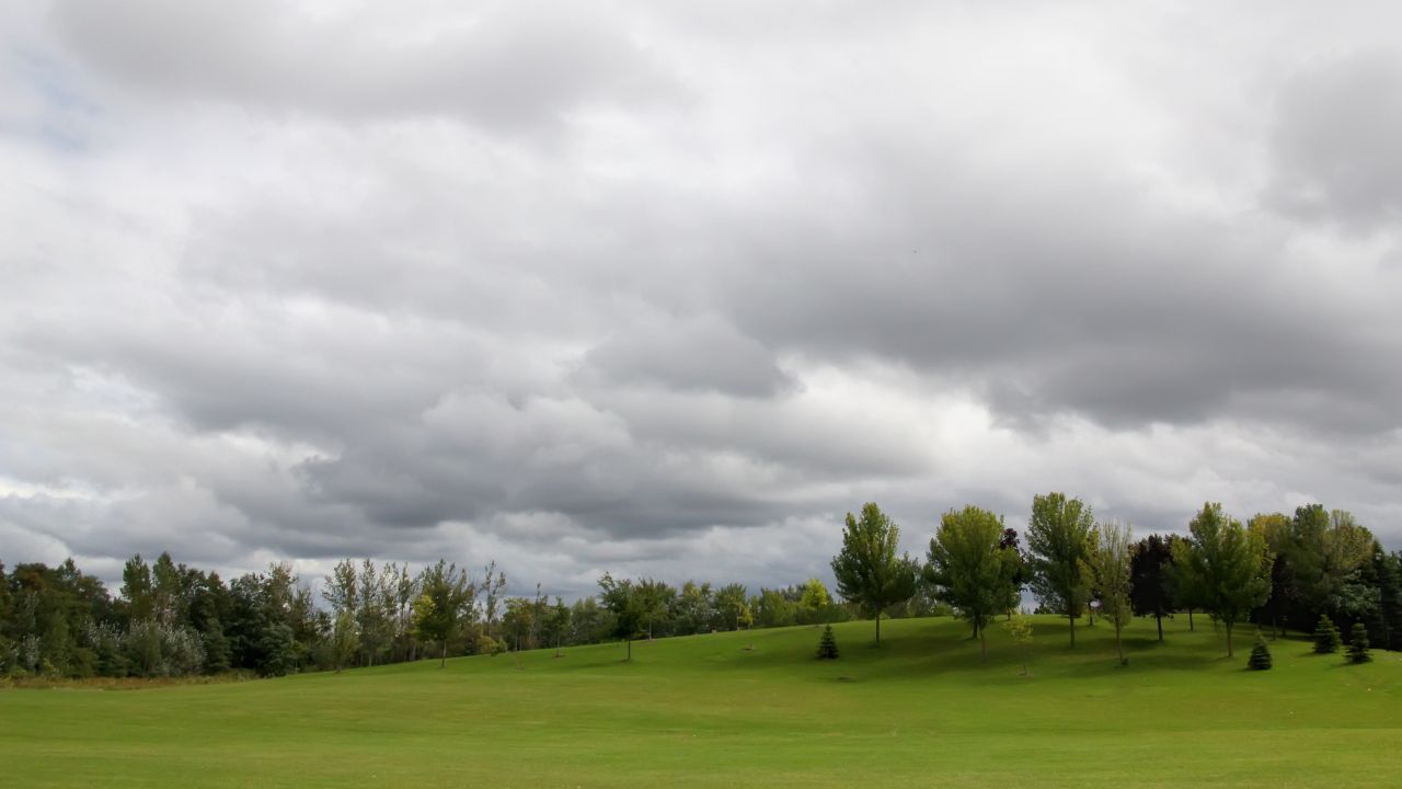
A weak cold front will continue moving south of the region Wednesday morning. Northwest flow behind the front will bring a broad layer of low clouds, while enough lingering moisture could produce scattered light showers or patches of drizzle.
The showers should be limited and uneven. The Southern Tier has a somewhat better chance of seeing a shower during the morning, while much of the Finger Lakes and the Syracuse area will remain cloudy with only an isolated shower. A few breaks in the overcast are possible later in the afternoon, but widespread clearing is not expected.
Wednesday will be noticeably cooler than Tuesday's warmth, although temperatures will still run a few degrees above normal for the middle of October. Highs near Rochester and Syracuse are expected to reach the lower to mid-60s. Geneva should reach the mid-60s, while Ithaca and Elmira may climb into the upper 60s or lower 70s before the cooler air becomes fully established.
Northwest winds will generally remain around 5 to 15 mph. The low cloud cover will persist into Wednesday night, with lows falling into the mid to upper 40s across much of the region.
A quiet and cooler Thursday
High pressure moving from the upper Great Lakes toward southern Quebec and New England will bring dry weather Wednesday night and Thursday. Some low clouds may remain Thursday morning, especially where northerly flow holds moisture against higher terrain, but sunshine should increase during the day.
The cooler air will be more firmly in place Thursday. Afternoon temperatures are forecast to range from the upper 50s around Rochester, Geneva and Syracuse to the lower 60s toward Ithaca and Elmira. Winds will turn from the north and northeast, helping hold temperatures down despite the developing sunshine.
Thursday will remain dry through much of the day. Clouds will thicken later as the next low-pressure system organizes to the west and approaches the eastern Great Lakes. Rain should begin spreading into western parts of the region Thursday evening, then expand from southwest to northeast overnight.
Temperatures may hold nearly steady or rise slightly late Thursday night as a warm front approaches. Southeast winds will also increase, with gusts near 20 to 25 mph possible in parts of the southern Finger Lakes and Southern Tier before daybreak Friday.
Widespread rain arrives Thursday night and Friday
Periods of rain will become widespread across the Finger Lakes and Central New York late Thursday night and Friday. The storm will draw deeper moisture into the region as low pressure strengthens over the eastern Great Lakes, supporting several rounds of rain rather than a brief frontal passage.
Total rainfall of one-half inch to 1 inch is expected across much of the region. The National Weather Service said the amount should be beneficial after a dry stretch and is not expected to cause flooding problems.

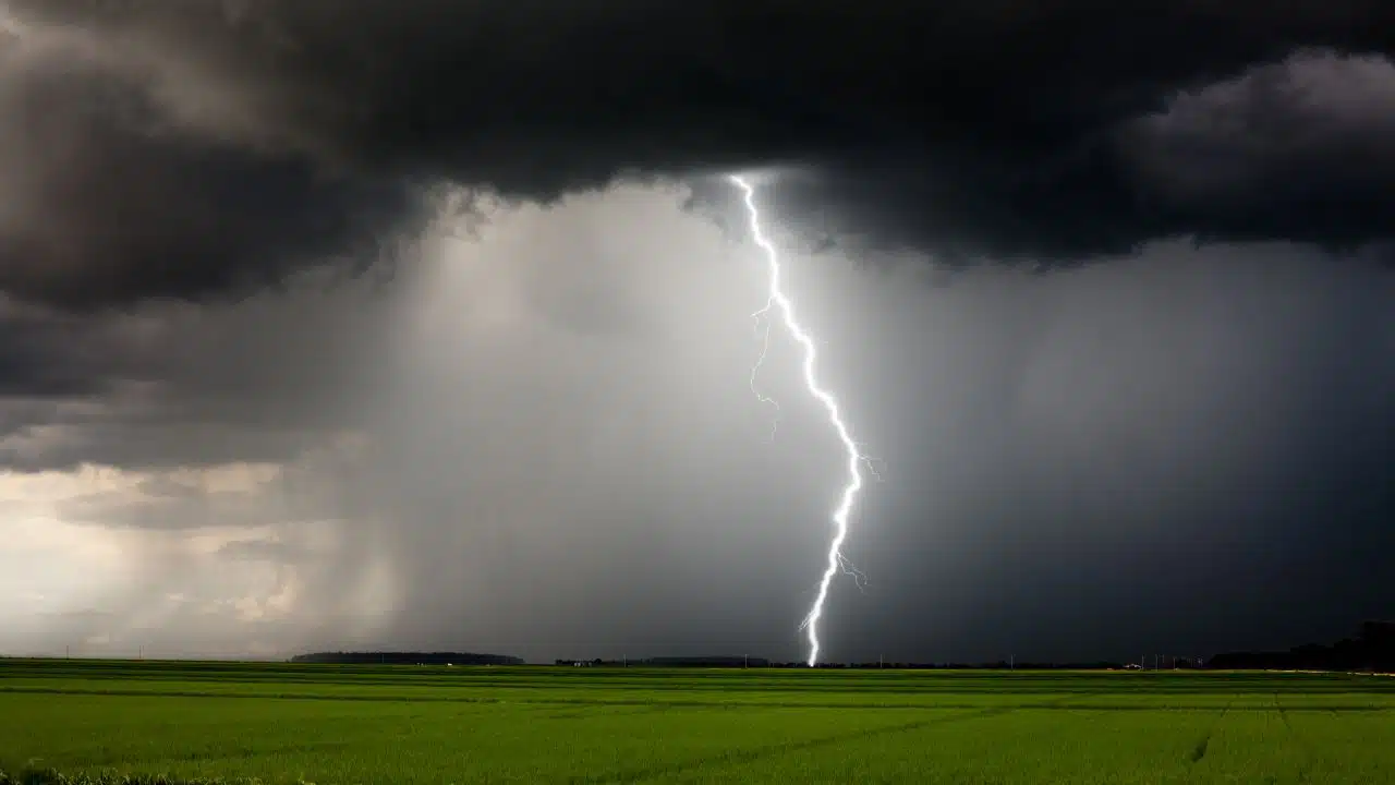
There may also be enough instability for a few embedded thunderstorms. The chance will depend on the storm track and how far north warmer air reaches Friday. Areas that enter the warmer part of the system could approach 70 degrees, while locations that remain under steadier rain and north of the warm front will stay much cooler.
That creates a relatively tight temperature difference across the region and lowers confidence in Friday's exact highs. Current forecasts range from the lower 60s near Rochester and Geneva to the mid and upper 60s around Syracuse, Ithaca and Elmira. A small change in the low's track could shift that gradient north or south.
A stronger cold front will sweep through Friday afternoon or evening with another round of showers. Any thunderstorm that develops near or ahead of the front could produce gusty winds, with the better chance for thunder focused toward the Southern Tier and areas east of the Finger Lakes.
Cold air and wet snowflakes possible Saturday
Temperatures will fall sharply Friday night as the low moves into the St. Lawrence Valley and much colder air pours across New York. Most communities will drop into the 30s by Saturday morning, with readings near freezing possible in the colder valleys of Central New York and the Southern Tier.
Showers will continue behind the front for part of Friday night. As the colder air arrives, some rain showers may mix with or change briefly to wet snowflakes before ending Saturday morning. The chance will be greatest across higher terrain and in lake-influenced areas, but even lower elevations in Central New York could see a few flakes.
The window for snow will be short because drier air will arrive quickly. A very minor coating of slush on grass cannot be ruled out in the highest terrain west of the Finger Lakes, but no meaningful accumulation or travel impact is expected. Any lingering rain or wet snow showers should end by midday Saturday.
Saturday will otherwise be partly to mostly sunny, cold and blustery. Highs will reach only the mid to upper 40s, with northwest wind gusts of 25 to 35 mph across much of the region. Gusts could approach 40 mph near the Lake Ontario shoreline.
Temperatures will fall into the upper 20s and 30s Saturday night. Clearer skies would favor frost, but winds may remain strong enough to limit how widespread frost becomes. The colder valleys have the best chance of reaching the upper 20s or lower 30s.
Sunshine and a quick warmup begin Sunday
High pressure will take control Sunday, bringing mostly sunny skies and much lighter weather after Saturday's brief cold shot. Afternoon temperatures should recover to near 60 degrees across much of the Finger Lakes and Central New York.
The cooldown will not last. Southerly flow around the high is expected to start a gradual warming trend early next week, with highs returning to the 60s Monday and Tuesday. Current guidance keeps that period mainly dry as temperatures climb back above mid-October averages.

Check the latest forecast at the FingerLakes1.com Weather Center.

FingerLakes1.com is the region’s leading all-digital news publication. The company was founded in 1998 and has been keeping residents informed for more than two decades. Have a lead? Send it to news@fingerlakes1.com.