
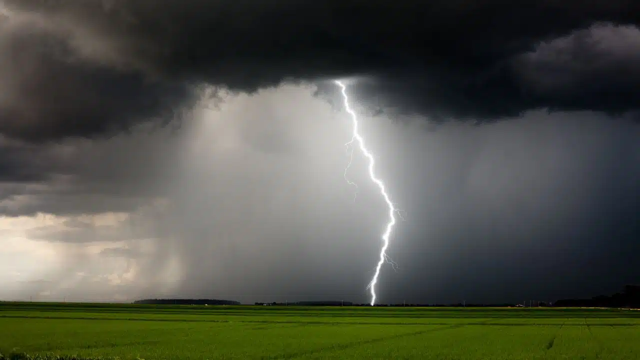
Showers and thunderstorms are set to move across the Finger Lakes and Central New York in several rounds Thursday, bringing the region's most active weather of the week along with the potential for localized heavy downpours and a few stronger storms.

The overall pattern points to a wetter and more unsettled day from late morning through evening, according to the National Weather Service offices in Buffalo and Binghamton, before cooler air and a quieter stretch begin working back into the region Friday and through the weekend.

Today's weather turns busier in stages
The first part of Thursday does not look uniformly stormy everywhere at once. Forecast guidance from the two NWS offices points to an early round of showers and a few thunderstorms moving through western New York during the morning, then shifting east toward the eastern Finger Lakes, Syracuse area and other parts of Central New York around midday into the afternoon.
That staggered timing matters because it should keep conditions from looking the same from Rochester to Syracuse through the full day. Parts of the western Finger Lakes may deal with more of the early activity before the focus shifts east, while communities from roughly the central Finger Lakes into Central New York are more likely to see the more organized afternoon and early evening round.
Temperatures are still expected to climb into the lower 80s in many places despite the unsettled setup, with mid-80s possible in some of the warmer valley locations if the clouds break long enough. Rochester is forecast to top out near 81, while Syracuse and Ithaca are each expected to reach the lower to middle 80s before cooler air arrives behind the front.
Humidity will also be noticeably higher than it was Wednesday. That more humid air is one reason forecasters continue to expect repeated shower and thunderstorm development rather than a one-and-done batch of rain moving through in a single line.
Afternoon storms carry the strongest signal
The most consequential stretch of the forecast still appears to be this afternoon into early evening, when the atmosphere has had the most time to warm and destabilize ahead of the approaching cold front. Both forecast offices point to that period as the best window for stronger thunderstorms, even though confidence in how intense the storms become still depends on how much sunshine develops between the morning and afternoon rounds.
Buffalo forecasters describe the coverage as uneven, which is an important part of today's setup. Not every town will spend the day under steady rain, and some places may see a break between waves, but the broader signal is still for several rounds of showers and scattered thunderstorms crossing the region before conditions settle down later tonight.
The western Finger Lakes may also see a somewhat lower storm concentration than areas farther east during part of the afternoon. Buffalo forecasters say a stable lake shadow could expand from Buffalo toward Rochester, which may trim back additional storm development along that corridor while activity redevelops from the Southern Tier into the Finger Lakes and eastward into Central New York.
Farther east, the storm signal is stronger. Binghamton forecasters continue to flag the potential for damaging wind gusts as the main severe-weather concern this afternoon and evening, with hail and a more isolated tornado risk remaining secondary possibilities if enough instability develops before storms organize.
That does not mean widespread severe weather is expected across the entire region. The forecast continues to hinge on uncertainty tied to the morning warm front, the amount of clearing that follows it and how much instability can build before the prefrontal trough pushes through. In practical terms, that leaves the region with a real but conditional risk for a few stronger cells rather than a guarantee that every community will see severe weather.
Heavy rain risk is local, not uniform
The rain threat also looks uneven from place to place. Buffalo forecasters say many locations may wind up with less than a quarter-inch of rainfall through Thursday night, while the heaviest totals stay tied to thunderstorms. Point forecasts farther east show a higher potential for localized heavier amounts, with Syracuse carrying a general quarter-inch to half-inch signal in storms and Ithaca and Auburn showing the possibility of a half-inch to three-quarters of an inch where repeated cells track.

That lines up with Binghamton's concern about training thunderstorms and localized flash flooding, especially later this afternoon into the evening if storms repeatedly cross the same area. The stronger flood signal is not spread evenly across all of the Finger Lakes, but it is enough to keep heavy downpours in the foreground anywhere storms slow down or redevelop over the same corridor.
For most communities, today's rain looks more likely to come in bursts than in one long, steady all-day soak. Even so, the forecast supports a wetter day overall than Wednesday, with repeated interruptions from showers or storms possible from west to east as the front works through.
Showers taper tonight, then Friday gradually improves
The main thunderstorm activity should diminish this evening as daytime heating fades and the most organized forcing shifts east. That said, the change will not be immediate everywhere, especially from the eastern Finger Lakes into Central New York, where showers and thunderstorms are expected to hold on later into the evening before easing overnight.
Buffalo and Binghamton both keep at least some leftover shower risk in the forecast into late tonight and Friday morning. Buffalo points to a weak secondary cold front and modest lake enhancement as reasons for a few scattered light showers overnight into early Friday, while Binghamton says Friday could still see a quick passing shower as the upper trough lingers overhead.
Friday therefore looks more transitional than fully settled at daybreak. Low clouds are expected to be more widespread in the morning, and a stray light shower cannot be ruled out, especially east and southeast of Lake Ontario and in parts of the Finger Lakes and Southern Tier. By afternoon, though, the clearer trend is toward gradual drying and at least partial clearing from northwest to southeast.
Temperatures Friday should come down a bit from Thursday's warmer and more humid readings. Rochester is forecast near the mid-70s, while much of the eastern Finger Lakes and Central New York should land in the upper 70s, reinforcing the cooler, less humid feel as the front gets farther away.
Weekend settles into a quieter late-summer stretch
Once Friday afternoon's improvement takes hold, the weekend forecast is considerably calmer. High pressure is expected to build across the eastern Great Lakes and then drift toward New England, supporting mainly dry weather and a more comfortable late-August pattern across the Finger Lakes and Central New York.
Saturday currently looks like the coolest and cleanest day of the stretch, with sunshine expected to return and highs generally holding in the upper 70s to around 80. Friday night and Saturday night may also turn cool enough for patchy river valley fog in the usual sheltered locations, especially where skies clear and winds go light after the recent rain.
Sunday brings the start of a modest warming trend. Highs should edge back into the lower 80s for much of the region, with some mid-80s possible in warmer inland spots, while most of the day stays dry. Buffalo forecasters note that the next organized rain chance should remain mainly north of the region until Sunday night or Monday, when another system may start edging closer from the Great Lakes and southern Canada.
That leaves Thursday as the clear weather pivot point in this forecast. The region's highest near-term risk for storms and heavier rain is packed into today and this evening, followed by a Friday cleanup period and then a quieter close to the final weekend of August.

Check the latest forecast at the FingerLakes1.com Weather Center.

FingerLakes1.com is the region’s leading all-digital news publication. The company was founded in 1998 and has been keeping residents informed for more than two decades. Have a lead? Send it to news@fingerlakes1.com.
