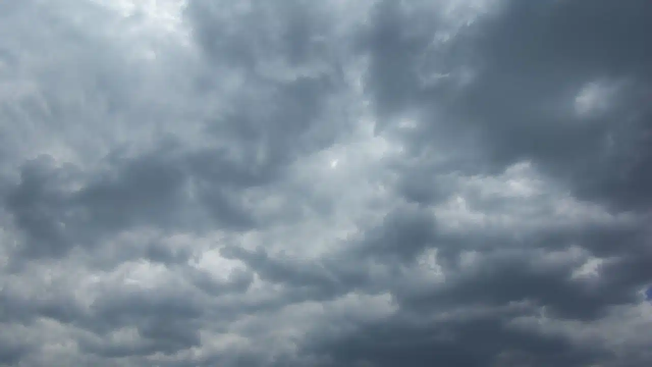


Morning rain moves across the Finger Lakes and Central New York today before drier weather arrives from the west. Temperatures remain unusually warm for November, with another round of showers and cooler air following late Friday into the weekend.
The rain accompanies a cold front crossing the region, according to the National Weather Service offices in Buffalo and Binghamton. The offices' Buffalo forecast and Binghamton forecast call for showers to taper as the day progresses, followed by a mostly dry night.

Thursday rain clears from west to east
A low-pressure system moving from the Great Lakes toward southern Quebec drives today's front eastward. Moisture carried north from the Gulf and southern Atlantic supports the band of showers ahead of it, while drier air arriving behind the front brings improving conditions later today.
Rainfall across western New York, the Genesee Valley and the Finger Lakes is expected to total about a tenth to a quarter-inch. Farther north, air rising over the Tug Hill region could produce a quarter to a half-inch across parts of north-central New York.
The Buffalo office expects the main showers to begin leaving its region by midmorning. Rain takes longer to clear farther east, with Binghamton forecasting widespread morning showers followed by drying later this afternoon.
The point forecasts reflect that progression. Geneva has a chance of showers before 1 p.m., while rain remains in the Syracuse forecast before 3 p.m. Both locations are expected to become partly sunny as the rain moves out.
Temperatures stay well above normal despite the clouds and passing rain. Binghamton's broader regional forecast puts most highs in the upper 60s to lower 70s. The specific point forecasts are warmer in some locations, reaching about 72 in Geneva and 75 in Syracuse before temperatures fall later in the afternoon.
Geneva is expected to drop toward 65 during the afternoon, with Syracuse falling toward 68. That change begins the cooling trend behind the front, although the more noticeable decline in daytime temperatures comes over the next several days.
Southwest winds in Geneva and Syracuse are forecast at roughly 5 to 12 mph today. Stronger gusts are expected farther west, especially northeast of Lake Erie, where winds could reach 35 mph as the low moves across the Great Lakes.
Today's rain offers some relief after a prolonged dry stretch. The Buffalo office reports minimal rainfall over the past three weeks, leaving fallen leaves and other fine vegetation very dry. Most places in its region will receive less than a quarter-inch from this first round, with additional rain opportunities following later in the week.
Mostly dry tonight, with a Friday break in Central New York
Most of the region turns dry tonight as the first band of rain moves away. Geneva and Syracuse both have mostly cloudy skies and lows near 49 in their point forecasts, with lighter southwest winds than during the day.

A few showers could develop northeast of Lake Erie late tonight. Those localized showers come as the larger low-pressure system remains nearby, keeping the region between periods of steadier rain rather than bringing a prolonged stretch of clear weather.

Friday brings a largely dry day to much of Central New York and the Twin Tiers. The Binghamton office says showers could persist farther southeast across the Poconos and southern Catskills as a separate wave of low pressure follows the Mid-Atlantic Coast.
Syracuse is forecast to be partly sunny Friday, with a high near 66 and southwest winds around 3 mph. Geneva remains mostly cloudy, with a high near 64 and a 40% chance of showers after 4 p.m.
That late-day shower chance in the Finger Lakes marks the next change in the pattern. An upper-level low and another front move across the eastern Great Lakes Friday into Saturday, bringing cooler air and renewed rain chances.
Rain becomes more likely Friday night. Geneva's forecast carries an 80% chance of showers, with a low near 45. Syracuse has a 70% chance of rain after 7 p.m., with temperatures falling to about 46.
Saturday turns cooler and wetter
Showers spread across the region from west to east as the upper-level low moves in Saturday. Both Geneva and Syracuse have a 90% rain chance, with cloudy skies and highs around 55 in Geneva and 57 in Syracuse.
Those temperatures are substantially lower than today's forecast highs. The colder air and moisture circulating around the departing surface low will also support lake-enhanced showers east and southeast of the lakes Friday night through Saturday night.
Rain remains in the forecast Saturday night, with both point forecasts carrying a 90% chance of precipitation. Lows fall to around 40, and west to northwest winds strengthen compared with Friday night's lighter breeze.
Sunday improves before another shower chance
Sunday's rain is expected to linger longer around Syracuse than Geneva. Geneva has a 30% chance of showers before 7 a.m., followed by mostly sunny skies. Syracuse has a 60% chance of rain before 1 p.m., with partly sunny conditions as the day progresses.
Both locations are forecast to reach about 56 Sunday. Winds turn westerly, around 12 mph in Geneva and 10 mph in Syracuse, while the region remains under cooler air behind the weekend system.
Another trough moving southeast from Canada brings a renewed chance of showers Sunday night into Monday. Lake moisture could add to the rain, although the Buffalo office notes less confidence in the details as forecast models differ on how that next system evolves.
Sunday night lows fall into the upper 30s. Monday's point forecasts call for highs near 54 in both Geneva and Syracuse, with a 40% shower chance in Geneva and a 50% rain chance in Syracuse. Some sunshine is expected between the showers.

Check the latest forecast at the FingerLakes1.com Weather Center.

FingerLakes1.com is the region’s leading all-digital news publication. The company was founded in 1998 and has been keeping residents informed for more than two decades. Have a lead? Send it to news@fingerlakes1.com.