An unusually warm stretch builds across the Finger Lakes and Central New York on Tuesday, with some light showers giving way to improving conditions before temperatures peak Wednesday. A cold front brings more widespread rain Thursday, followed by cooler weather and additional shower chances heading into the weekend.
Wednesday offers the warmest weather of the stretch, with temperatures reaching the 70s across much of the region, according to the National Weather Service offices in Buffalo and Binghamton. The offices' Buffalo forecast and Binghamton forecast point to a brief break from the showers before the next front arrives.

Tuesday brings clouds, spotty showers and rising temperatures
A warm front moving through the region Tuesday brings a chance for scattered showers, but rainfall should be light. Showers move across western New York during the morning and spread eastward into late morning and the afternoon. Farther east, the better chance for isolated to scattered showers is mainly north of the Southern Tier during the afternoon.
Dry air near the ground will limit how much rain reaches the surface in parts of Central New York. That leaves a day with considerable cloud cover and occasional showers rather than a prolonged, soaking rain. The timing also varies from west to east, so an improving afternoon in western areas can coincide with a lingering shower chance farther east.
Clouds remain a substantial part of Tuesday's weather across Central New York and the Twin Tiers, where skies should be partly to mostly cloudy for much of the day. Farther west, drier air works in behind the warm front, allowing clouds to decrease from west to east during the afternoon and into the night.
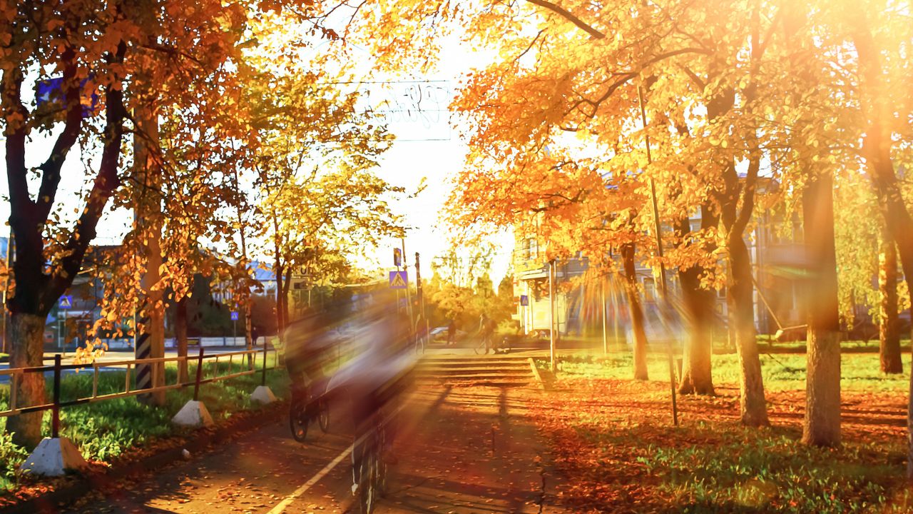
The air behind the warm front is much milder than typical early-November weather. Tuesday's highs reach the lower 70s in western New York, while north-central New York is expected to reach the middle 60s. Those regional differences are part of the transition into a broader warm spell, with Wednesday bringing the more widespread push into the 70s.
Wednesday is the warm peak
Warm air continues spreading northeast Tuesday night and Wednesday. With the warm front farther north and the next cold front still to the west, Wednesday provides a break between the two rounds of showers. Temperatures are expected to climb well above normal across western New York, the Finger Lakes, Central New York and the Twin Tiers.
The Buffalo office expects middle to upper 70s across western and north-central New York, roughly 20 degrees above normal. The Binghamton office expects lower to middle 70s across Central New York and the Twin Tiers. South to southwest flow supports that warmth, while southerly winds in western New York limit the usual cooling influence of a lake breeze.

Some daily records could be challenged, although the forecast does not guarantee records will fall. Buffalo's record for Wednesday, Nov. 4, is 74 degrees, set in 2022. Rochester's is 78, set in 2015, and Watertown's is 73, also set in 2015. Typical highs at those locations are only in the lower to middle 50s.

The distinction between Tuesday and Wednesday matters for the record potential. Tuesday's records are higher in Buffalo and Watertown, at 80 and 74 degrees, respectively, while Rochester's Tuesday record is 75. Wednesday's forecast warmth lines up more closely with the records at several locations, making that the day to watch as the warm spell peaks.
Rain returns Wednesday night into Thursday
The next cold front brings a more organized round of showers Wednesday night into Thursday. Rain spreads through the region with the front, then moves east as the system progresses. The Buffalo office expects the main band of widespread showers to move through quickly, with the deeper moisture shifting east by Thursday afternoon.
Rain totals should generally be modest. Across western and north-central New York, amounts are expected to stay below a quarter-inch in most places. The Binghamton office expects amounts around a tenth of an inch in its region, with locally higher totals of three- to four-tenths possible. That is a broader rain chance than Tuesday's scattered, light showers, even though it is not currently shaping up as a major rainfall event.
Thursday's temperatures depend in part on when the front passes. Cooler air arrives from west to east, with the Finger Lakes and north-central New York holding onto relatively mild conditions longer than western areas. The front ends the warmest part of the stretch, but temperatures do not immediately plunge into a sharply colder pattern throughout the region.
Cooler, unsettled weather follows
The front's departure brings a temporary break in the main rain, but another front and an upper-level trough keep showers in the picture Friday and into the weekend. The overall trend is cooler than Wednesday, while temperatures remain above seasonal averages.
For Central New York and the Twin Tiers, weekend highs are expected to be in the upper 50s to lower 60s. Northwest flow and lingering moisture support additional showers, particularly as the next system moves through. Confidence is lower in how long the unsettled conditions persist through the end of the weekend.
There is a possibility that high pressure begins building in late Sunday, which could help conditions improve. For now, the more dependable sequence is warmth through midweek, a broader rain chance Thursday, and cooler weather with more shower chances Friday and Saturday. Sunday's timing remains less certain.

Check the latest forecast at the FingerLakes1.com Weather Center.

FingerLakes1.com is the region’s leading all-digital news publication. The company was founded in 1998 and has been keeping residents informed for more than two decades. Have a lead? Send it to news@fingerlakes1.com.