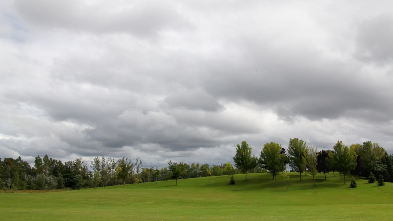
Clouds will hang over much of the Finger Lakes and Central New York on Monday, but departing rain will leave a mainly dry, milder day before showers and thunderstorms return Tuesday.

Early patchy fog will fade, followed by highs in the upper 60s to around 70 with light winds, according to the National Weather Service offices in Buffalo and Binghamton. A stronger Great Lakes system will then push temperatures well into the 70s Tuesday while bringing another round of rain and the possibility of a few strong storms.
Clouds linger through Monday
The last showers tied to Sunday’s storm will finish pulling away from Central New York early Monday. Additional rainfall will be limited before the region dries out.
Low-level moisture left behind by the storm will keep areas of fog and low clouds in place early. Visibility should improve during the morning, but clouds will be slower to clear.
Rochester, Geneva and Ithaca are expected to reach about 70 despite the cloud cover. Syracuse will be a little cooler, with a high in the upper 60s. Winds will generally remain light from the west or northwest.
Monday evening will stay quiet for most of the region. Temperatures will settle into the mid- and upper 50s overnight as winds turn southerly ahead of the next system. The first showers could approach western New York toward daybreak Tuesday.
Tuesday turns warmer and stormier
A low-pressure system crossing the Great Lakes will draw warmer air north Tuesday before sending a cold front through the region. Highs are expected to reach the mid-70s around Syracuse and the upper 70s from Rochester and Geneva south toward Ithaca.
Temperatures could run roughly 10 degrees above normal in parts of the region, particularly across the Southern Tier.
Showers will develop during the morning and spread east, with thunderstorms mixed in at times. Current point forecasts show a 60% to 70% chance of precipitation in many communities. Thunderstorms could produce locally heavier downpours.
The potential for stronger storms will depend heavily on timing. Early rain and lingering clouds could limit instability, while a later frontal passage would allow more warmth to build before storms develop.
The greatest concern is across western New York and areas west of Interstate 81, including the western Finger Lakes and Genesee Valley.
The Storm Prediction Center has placed western New York in a marginal risk area, the lowest of its five severe-weather categories. Winds higher in the atmosphere could support organized storms, but confidence in their coverage and strength remains limited because forecasts still differ on the low’s track and the timing of the cold front.
Showers and thunderstorms may continue into Tuesday evening as the front moves east. Activity should gradually diminish overnight, with lows falling into the upper 50s to around 60 and winds shifting west behind the system.

A quieter stretch follows midweek
Wednesday will be cooler and mostly cloudy after the front passes. Scattered light showers could redevelop, with higher rain chances around Syracuse than farther west.
Highs will range from the mid-60s near Rochester, Geneva and Syracuse to the upper 60s around Ithaca.

Wednesday night will turn cooler, with lows mainly in the upper 40s to around 50. A few showers may linger, though much of the region should have extended dry periods.
Thursday currently looks like one of the quieter days of the week. Skies should be partly sunny, with highs near 60 in Rochester and Geneva and in the lower 60s farther south and east. Winds will generally be light.
That dry period will be brief. Clouds will thicken Thursday night as another fast-moving low approaches, and rain is expected to spread into the Finger Lakes and Central New York after dark.
Widespread rain returns Friday
Friday is expected to bring widespread rain as the low crosses the region. Current point forecasts show rain chances of 80% to 90%, with highs in the low 60s around Rochester, Geneva and Syracuse and the mid-60s near Ithaca.
The system will pull colder air south from Canada as it departs. Winds will turn northwesterly and strengthen Friday night, with sustained speeds around 15 to 20 mph possible in parts of the region.
Temperatures will fall into the mid- and upper 30s while showers continue.
The exact track and strength of the late-week low will determine how quickly the colder air arrives and how long rain persists. Confidence is increasing that the broader pattern will turn sharply colder and unsettled, but precipitation type and local amounts remain uncertain several days in advance.
First snow showers possible Saturday
Saturday could bring the first snowflakes of the season to parts of Central New York as cold air crosses the relatively warm Great Lakes.
Rain showers may mix with snow during the day, especially in higher terrain and areas favored by northwest winds.
This is not yet a forecast for widespread or significant accumulation. The Binghamton office said the pattern could support the season’s first lake-effect snow showers if the projected cold air arrives, but important details are likely to change.
Saturday will also be breezy and much colder, with afternoon temperatures struggling to reach the mid- and upper 40s. Northwest winds could average 15 to 20 mph in parts of the region.
Nighttime lows will fall into the low to mid-30s. Any lingering rain or snow showers should become less widespread Saturday night.
High pressure is expected to bring a marked improvement Sunday. Sunshine should return across much of the Finger Lakes and Central New York, with highs recovering into the mid- and upper 50s after the cold start.
Check the latest forecast at the FingerLakes1.com Weather Center.


FingerLakes1.com is the region’s leading all-digital news publication. The company was founded in 1998 and has been keeping residents informed for more than two decades. Have a lead? Send it to news@fingerlakes1.com.