

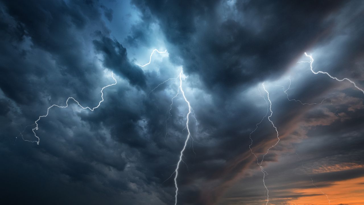
Showers and isolated thunderstorms will spread across the Finger Lakes and Central New York today, bringing periods of locally heavy rain before drier and cooler weather returns tonight and Friday.
Rain will be most widespread from the morning into the afternoon, with temperatures reaching the mid- to upper 70s in many communities, according to the National Weather Service offices in Buffalo and Binghamton. The greatest concern will be downpours that could repeatedly cross the same area, particularly closer to the Southern Tier.

Heavy downpours possible today
A frontal boundary stalled near the New York-Pennsylvania line will focus showers as a weak area of low pressure moves through the region. Rain should expand northward through the morning, then continue in scattered to widespread fashion as a cold front approaches during the afternoon.
The atmosphere will carry unusually high moisture for mid-September, allowing some showers and thunderstorms to produce efficient rainfall. Most locations are expected to receive roughly one-third to one-half inch of rain, but locally higher amounts are possible beneath thunderstorms or bands of rain that move over the same places.
Localized ponding is possible where the heaviest rain falls. The risk of isolated flash flooding is greatest toward the western Southern Tier and areas closer to the Pennsylvania border, though the threat is not expected to be widespread. No flood watches or other weather advisories were in effect early Thursday.
Thunderstorms are possible, but limited instability should keep most of them below severe levels. Cloud cover and morning rain could further restrict afternoon storm development. If enough instability develops, an isolated stronger storm cannot be ruled out near the Southern Tier, with the more favorable area extending into northeastern Pennsylvania.
Farther north and west, including Rochester, the steadiest rain may be concentrated earlier in the day before coverage decreases. Around Geneva, Ithaca and Syracuse, showers and occasional thunderstorms are likely to remain more persistent into the afternoon. Highs should reach about 76 in Rochester and Geneva, 77 in Syracuse and 78 in Ithaca, with light winds shifting to the north or northwest as the front passes.
Showers will gradually end from west to east late today and this evening. Skies should begin to break overnight as drier air arrives, with lows generally in the upper 50s. Fog may redevelop in some river valleys, particularly across the Southern Tier, after the rain ends.
Sunshine returns Friday
High pressure building across Ontario and Quebec will bring a quieter Friday. Morning clouds should give way to mostly sunny skies, and lower humidity will make the change from Thursday more noticeable.
Afternoon temperatures will generally reach the upper 60s to lower 70s. The current forecast calls for highs near 71 in Rochester, 72 in Geneva, 73 in Syracuse and 74 in Ithaca. Northwest winds will remain modest, though they may become a little more noticeable during the afternoon.
Friday night will be mainly dry and chilly under the departing high. Lows are forecast to fall into the upper 40s in parts of the Finger Lakes and Central New York, with readings near 50 around Rochester. Some of the traditionally colder locations in northern Oneida County could dip into the upper 30s.

The coldest inland areas of the North Country could see isolated patches of light frost if winds become calm, but widespread frost is not expected across the Finger Lakes or the Syracuse area. Otherwise, the night should remain quiet with partly cloudy to mostly clear conditions before clouds begin to increase later Saturday.
Saturday starts dry before rain returns
Much of Saturday should remain dry as high pressure slowly shifts east. Sunshine may be filtered by increasing clouds during the afternoon, but rain is expected to hold off through most of the daylight hours.
Temperatures will stay on the cool side for September. Highs are expected to range from the mid-60s around Rochester and Geneva to the upper 60s near Syracuse and around 70 in Ithaca. Light east or southeast winds will develop as the next low-pressure system approaches from the Ohio Valley.
Rain should become more widespread Saturday night as a warm front lifts north and moisture returns. Current guidance has slowed the system somewhat, making the evening transition from dry weather to rain one of the more uncertain timing details. The highest rain chances are centered from Saturday night into Sunday morning.
Periods of moderate rain are possible overnight, and clouds will keep temperatures from falling as sharply as they will Friday night. Lows should settle in the mid-50s across much of the region.
Rain continues through Sunday
Sunday is expected to be the wetter half of the weekend, with showers likely across the Finger Lakes and Central New York for much of the day. A few thunderstorms could develop where weak instability forms, but widespread severe weather is not indicated.
The system's slower movement may allow rain to persist into Sunday afternoon before gradually tapering during the evening. High temperatures will remain in the upper 60s to around 70, held down by clouds and precipitation. Rain chances currently stand near 80% to 90% from Rochester through Geneva, Ithaca and Syracuse.
Forecast confidence decreases after the weekend. High pressure developing north of the Great Lakes should bring mainly dry weather to much of Central New York on Monday, while additional upper-level disturbances could keep a chance of showers closer to the Southern Tier and western New York.
Monday's highs are expected to remain in the mid- to upper 60s. Forecast models begin to diverge by Tuesday, leaving the timing and coverage of any additional showers uncertain as the unsettled pattern continues into the first half of next week.

Check the latest forecast at the FingerLakes1.com Weather Center.

FingerLakes1.com is the region’s leading all-digital news publication. The company was founded in 1998 and has been keeping residents informed for more than two decades. Have a lead? Send it to news@fingerlakes1.com.