

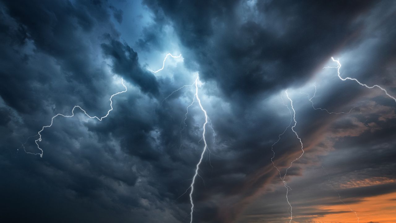
Showers will spread across the Finger Lakes and Central New York today before a round of late-afternoon and nighttime thunderstorms brings the potential for damaging wind gusts and localized minor flooding. A cold front will cross the region tonight, followed by breezy conditions Thursday and a mainly dry start to the weekend.

The strongest storms will depend partly on how much the air warms beneath today's cloud cover, according to the National Weather Service offices in Buffalo and Binghamton. The Southern Tier and interior Finger Lakes have a better chance of developing stronger storms than areas where earlier rain and thicker clouds limit that warming.

Showers develop this morning
Clouds will increase and lower this morning as warmer, more humid air moves into the region ahead of the cold front. Light rain showers are possible around daybreak, with the greatest early chance along and north of the New York State Thruway.
Showers will remain scattered across much of western New York during the morning and early afternoon. Rain could become more frequent near the south shore of Lake Ontario, while areas farther south have a lower chance of seeing the same coverage during the first part of the day.
That difference extends into Central New York. More persistent rain is possible around Syracuse and Rome as a warm front moves through, with shower coverage decreasing toward the Southern Tier. The early rain will precede the main period of showers and possible thunderstorms later in the day.
Temperatures should reach around 80 degrees across the Binghamton forecast region, including much of the Finger Lakes and Central New York. Increasing moisture will accompany the warmth, supplying the later storms with enough water vapor to produce heavy downpours.
Clouds and active winds near the ground should limit early fog formation. Binghamton has reduced its expectation for fog around Elmira, where the incoming cloud cover and wind should keep conditions from becoming as favorable for it.
South to southwest winds will increase as the day progresses. The strongest ordinary daytime gusts are expected outside much of the Finger Lakes, particularly northeast of Lake Erie and toward the St. Lawrence Valley, where Buffalo forecasts gusts of 30 to 35 mph.
Storm risk increases late today
The main weather change arrives late this afternoon and continues into tonight as a band of showers and scattered thunderstorms develops ahead of the approaching cold front. A separate wind shift ahead of the front will help focus that activity during the afternoon and evening.
Strong winds above the ground will support storm development, but the amount of available instability remains a limiting factor. Earlier clouds and rain may keep some locations from warming enough to support stronger thunderstorms, especially toward eastern Lake Ontario and parts of Central New York.
Farther southwest, less cloud cover could allow more daytime warming. Buffalo places its higher probability of severe storms across the western Southern Tier this evening, while also identifying the interior Finger Lakes as an area where stronger storms could occur.
Binghamton similarly has greater confidence in late-day thunder around Elmira and Ithaca than at several locations farther north and east. That does not eliminate storms elsewhere; it reflects uncertainty over how much the earlier rain will limit their development.
Damaging wind gusts remain the primary severe-weather concern. Stronger showers and storms could bring some of the faster winds aloft down to the ground, producing localized bursts of wind even where thunder and lightning are limited.

Both weather service offices also identify a possibility of an isolated tornado. Binghamton describes the potential for a brief, weak tornado in some of the stronger showers, while Buffalo notes that changing winds and afternoon instability could support an isolated tornado. That is a conditional risk within the broader wind threat, rather than an expectation of widespread tornado activity.
Heavy downpours accompany tonight's front
Any thunderstorms will be capable of heavy rain as a deep supply of moisture crosses the region. Binghamton notes indications that a few locations could receive around an inch of rain in an hour, enough to cause localized minor flooding in urban areas or along small streams.
That amount is a possibility beneath a heavier storm, not a forecast for every community. Rainfall will vary with the location and strength of the showers, and the overall flooding risk remains low.
Storms should generally keep moving, which limits how long the heaviest rain stays over any one place. However, repeated showers along the frontal boundary could increase local totals, leaving a low flooding risk from the western Southern Tier toward eastern Lake Ontario.
Showers and thunderstorms will diminish from northwest to southeast as the front passes tonight. Across western New York, that decrease should take place from mid-evening into the early overnight hours, while the broader late-day-to-overnight storm period extends into Central New York.
Low clouds may linger after the rain ends, especially over higher terrain. Overnight temperatures are expected to remain in the 60s across the Binghamton forecast region, with the more noticeable arrival of cooler air holding off until Friday.
Breezy Thursday gives way to drier weather
West to northwest winds will follow the front Thursday, with gusts of 20 to 25 mph possible across the Binghamton region. Temperatures will still feel more like late summer before the cooler air settles in.
A few showers could linger Thursday morning, especially across the Southern Tier. The front will lie south of New York, and most places should be rain-free as cloud cover gradually decreases from north to south.
High pressure will build in late Thursday and Thursday night. Friday should be dry, and mainly dry conditions are expected into Saturday, although morning fog will be possible as high pressure settles over the region.
Warmth builds into early next week
A few showers could reach the Southern Tier Saturday afternoon, with scattered showers possible Saturday night and Sunday as another frontal system approaches. The weekend therefore has some rain chances despite the mainly dry conditions expected at its start.
Temperatures should gradually rise through early next week, with occasional chances for showers and thunderstorms. Binghamton says some locations could approach 90 degrees Tuesday if the warmer pattern develops as expected; that remains a possibility several days out rather than a settled regional temperature forecast.
A stronger cold front could move into the area around Tuesday, bringing another chance of showers and thunderstorms as the early-week warmth builds.

Check the latest forecast at the FingerLakes1.com Weather Center.

FingerLakes1.com is the region’s leading all-digital news publication. The company was founded in 1998 and has been keeping residents informed for more than two decades. Have a lead? Send it to news@fingerlakes1.com.