


Over the weekend the holiday shopping season kicked off. While pandemic rules were clear — as shoppers wore masks in still-busy stores — some things remained the same.
Long lines, inside-and-outside stores, as well as a number of sales. However, different communities have different rules, as New York State continues its micro-cluster approach to dealing with COVID-19 outbreaks.
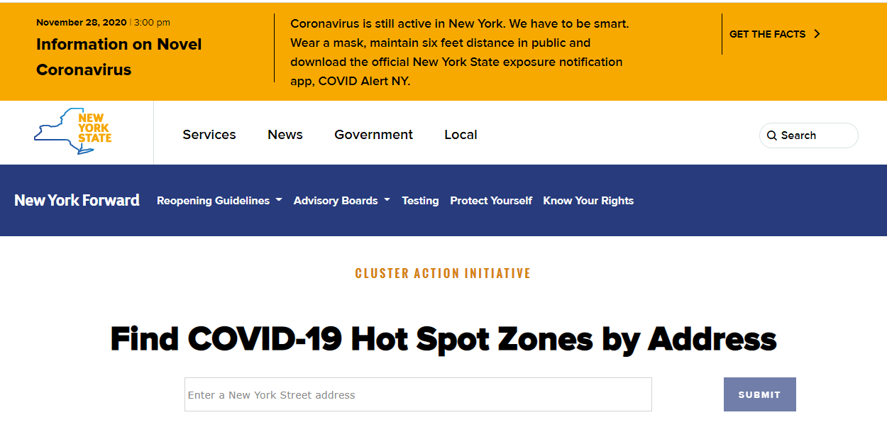
It prompted a lot of folks to ask “How do you know if one business is under stricter rules than another?”
The answer is simple: New York State has a tool that’s available for use to guide those wondering what addresses are in certain zones.
Click here and enter the address in question. It will give you an explanation, and color coded neighborhood map. This tool works whether you live in an area that is, or isn’t under yellow, orange, or red zone restriction, and is updated with regularity.
Last week, Governor Andrew Cuomo said that in addition to Monroe and Onondaga counties, the Victor-area was getting close to reaching ‘yellow zone’ criteria. A number of communities are getting close, and could reach that classification after a busy holiday weekend.
FingerLakes1.com is the region’s leading all-digital news publication. The company was founded in 1998 and has been keeping residents informed for more than two decades. Have a lead? Send it to [email protected].