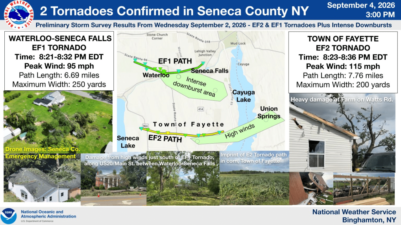
Two tornadoes tore across Seneca County Wednesday night, including an EF2 that destroyed barns, damaged farms and snapped power poles across much of the Town of Fayette, according to new damage survey results from the National Weather Service.

The stronger tornado developed south of Rose Hill around 8:23 p.m. and remained on the ground for nearly eight miles before ending south-southwest of Canoga about 13 minutes later. Forecasters estimated peak winds at 115 mph, putting it in the EF2 category. No injuries or deaths were reported.

A second tornado, rated EF1 with winds up to 95 mph, developed northwest of Waterloo at about 8:21 p.m. and tracked nearly seven miles toward Seneca Falls. That tornado crossed Hecker Road, Maple Grove Cemetery and the north side of Waterloo before weakening near Seneca Falls.
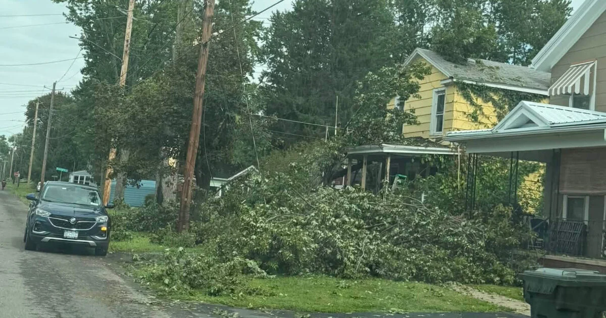
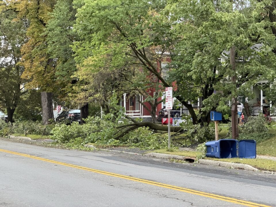
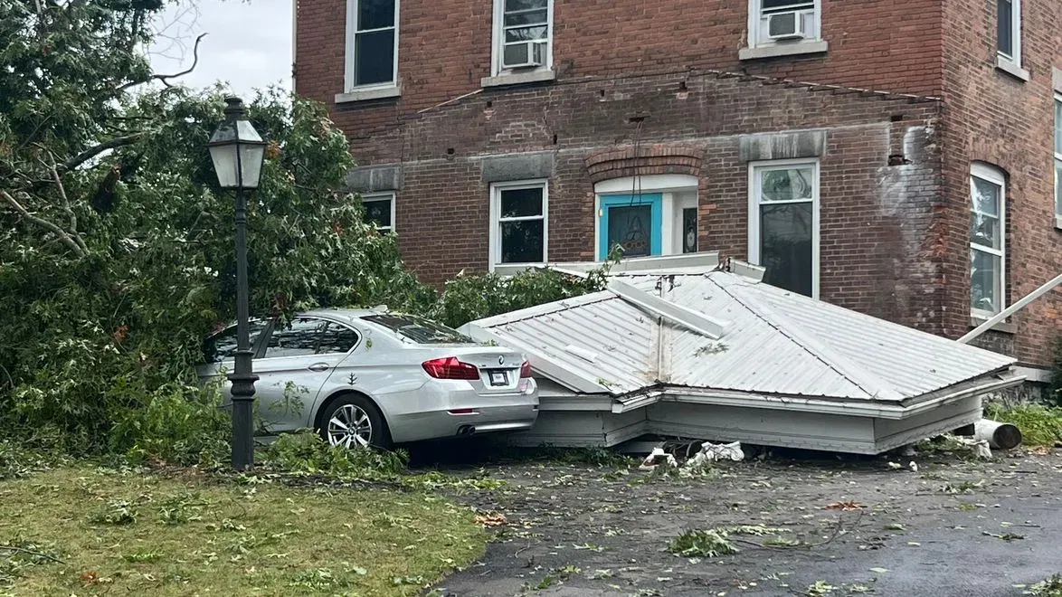
The two tornadoes were part of a much larger severe weather outbreak across Upstate New York that produced at least seven confirmed tornadoes Wednesday, along with widespread damaging winds, flooding and power outages.
EF2 caused extensive farm damage in Fayette
The National Weather Service said the Fayette tornado intensified rapidly after forming about five miles south of the Waterloo-area tornado.
Damage began almost immediately near Post Road, where a garage and sheds at a residence were destroyed.
Radar later detected debris being lofted as high as 11,000 feet as the tornado strengthened.
The storm tracked east across nearly the entire width of Fayette, severely damaging or leveling barns and other outbuildings and scattering debris hundreds of yards.
Forecasters said peak damage occurred at a farm along Watts Road, where a heifer barn was destroyed. Debris from the barn was driven into a nearby house and smashed windows.
A broad swirling damage pattern was also visible in cornfields on both sides of the property.
The tornado continued near Leader Road, where additional farms sustained heavy damage and numerous power poles were snapped.
It eventually weakened after crossing Seybolt Road as stronger straight-line winds overtook the circulation.
Those severe thunderstorm winds continued east across Cayuga Lake and into the Union Springs area of Cayuga County, where scattered damage was also reported.
The National Weather Service said Amish and Mennonite communities were among those heavily affected by the EF2 tornado.
Waterloo and Seneca Falls tornado accompanied by powerful downburst
The northern tornado developed within a larger rotating section of the severe thunderstorm line west-northwest of Waterloo.
Forecasters said a chaotic pattern of downed trees and branches became more apparent as the tornado crossed Hecker Road and strengthened to EF1 intensity.
The tornado crossed Maple Grove Cemetery and moved into the village of Waterloo, with its central track remaining north of Routes 5 and 20.
But damage extended well beyond the tornado itself.
The National Weather Service said strong inflow winds and an intense downburst behind the tornado caused significant tree damage throughout Waterloo, including areas south of the Seneca River.
A 76 mph wind gust was measured at the New York State Mesonet station in Waterloo.

The damaging winds continued to Finger Lakes Regional Airport, where a hangar was damaged and a small aircraft was overturned.
The tornado then weakened as it moved east-northeast into the northern portion of Seneca Falls, ending around 8:32 p.m.
The maximum width of the tornado was estimated at 250 yards.
Seven tornadoes confirmed across Upstate New York
Seneca County accounted for two of at least seven tornadoes confirmed across Upstate New York from Wednesday’s storm system.
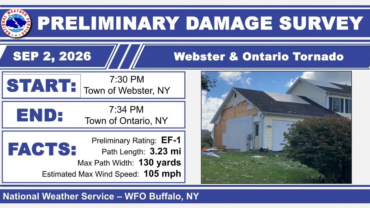
In Niagara County, an EF1 tornado with estimated winds of 105 mph touched down in Olcott shortly after 6 p.m., damaging trees along a path extending from Main Street toward Krull Park.
Another EF1 with winds up to 105 mph struck near Medina in Orleans County around 6:45 p.m., causing tree damage to several homes and uprooting trees in a wooded area.
In Genesee County, an EF1 tornado with estimated winds of 110 mph traveled east of Alexander between about 7:29 and 7:35 p.m., affecting areas near Linden and Skates Hill Road.
The National Weather Service also confirmed two EF1 tornadoes near Letchworth State Park around 8 p.m., one on each side of the Genesee River. Damage was found near Portageville and in portions of the towns of Portage and Genesee Falls.
Combined with the two Seneca County tornadoes, that brought the statewide confirmed total from Wednesday’s outbreak to at least seven.
Tornado warnings were issued across a broad portion of Upstate New York during the event, including parts of Cayuga, Chenango, Cortland, Genesee, Livingston, Madison, Monroe, Niagara, Onondaga, Orleans, Seneca and Wyoming counties.
Volunteer fire departments and emergency crews responded to reports of flooded basements, downed trees, damaged structures and fallen power lines as the storm system crossed the state.
Seneca County tornadoes formed after dark
Both Seneca County tornadoes formed well after sunset as a line of severe thunderstorms moved into the county from the west.
The National Weather Service described the atmosphere as highly unstable and strongly sheared, conditions favorable for rotating thunderstorms and embedded tornadoes.
The broader line developed into a bow echo — a radar signature commonly associated with widespread damaging straight-line winds — with additional rotation developing on the northern side of the system.
Despite darkness, witnesses reported seeing the Fayette tornado because of nearly continuous lightning illuminating the funnel.
The National Weather Service credited Seneca County Emergency Management with helping conduct the damage survey, including providing drone imagery and helping forecasters reach impacted properties and residents.
Cayuga County Emergency Services also provided information about wind damage east of Cayuga Lake.
The National Weather Service said its findings remain preliminary and could be adjusted after further review and publication in official storm records.
 Older workers learn to put AI to work
FingerLakes1.com is the region’s leading all-digital news publication. The company was founded in 1998 and has been keeping residents informed for more than two decades. Have a lead? Send it to news@fingerlakes1.com.