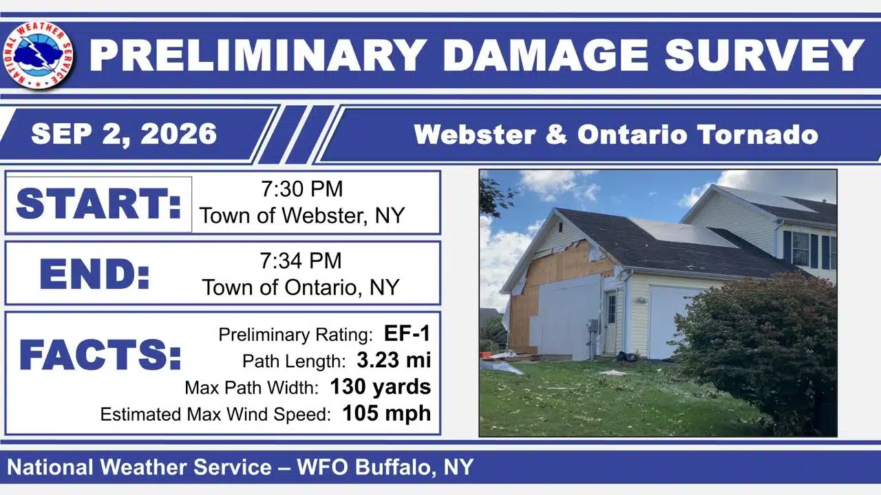
The National Weather Service has confirmed that an EF1 tornado packing winds of up to 105 mph cut a 3.23-mile path from Webster into the Town of Ontario during the destructive Sept. 2 storms.

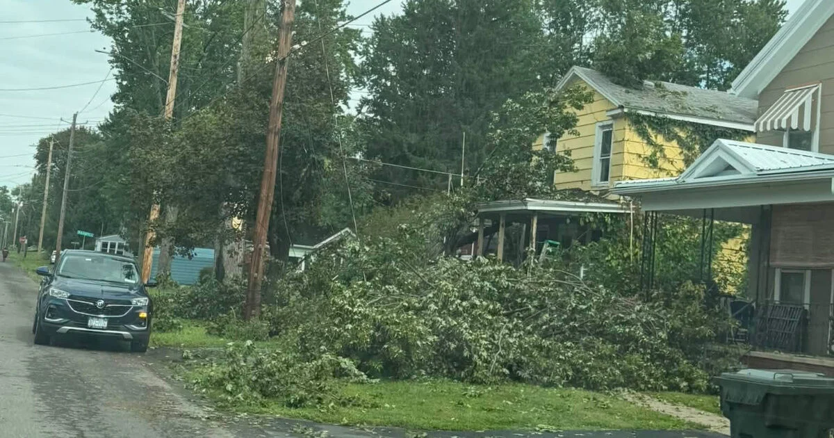
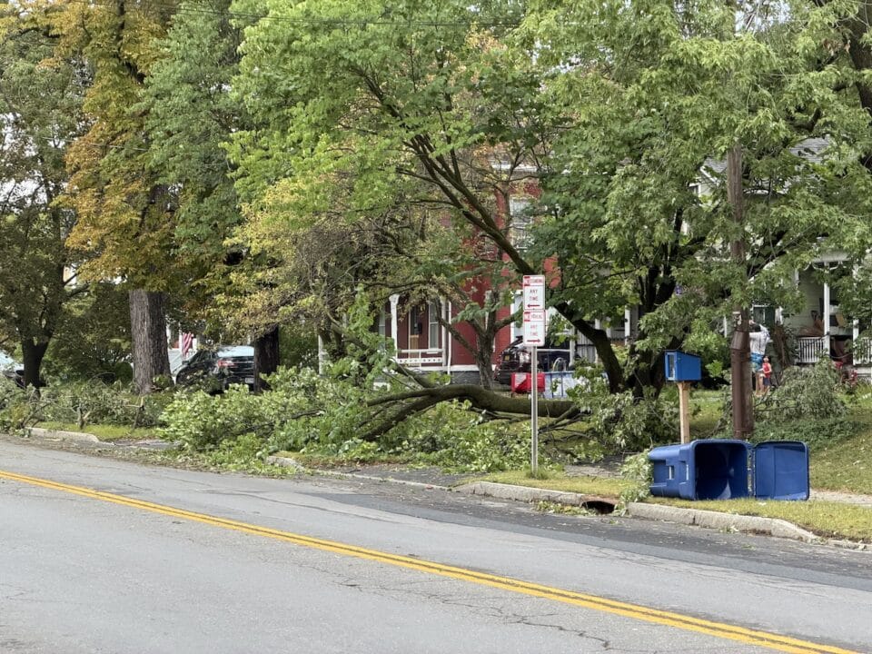
The tornado crossed Route 104, knocked down trees and power poles and damaged homes as it moved from eastern Monroe County into western Wayne County. No injuries or deaths were reported, according to the NWS damage survey released Saturday.
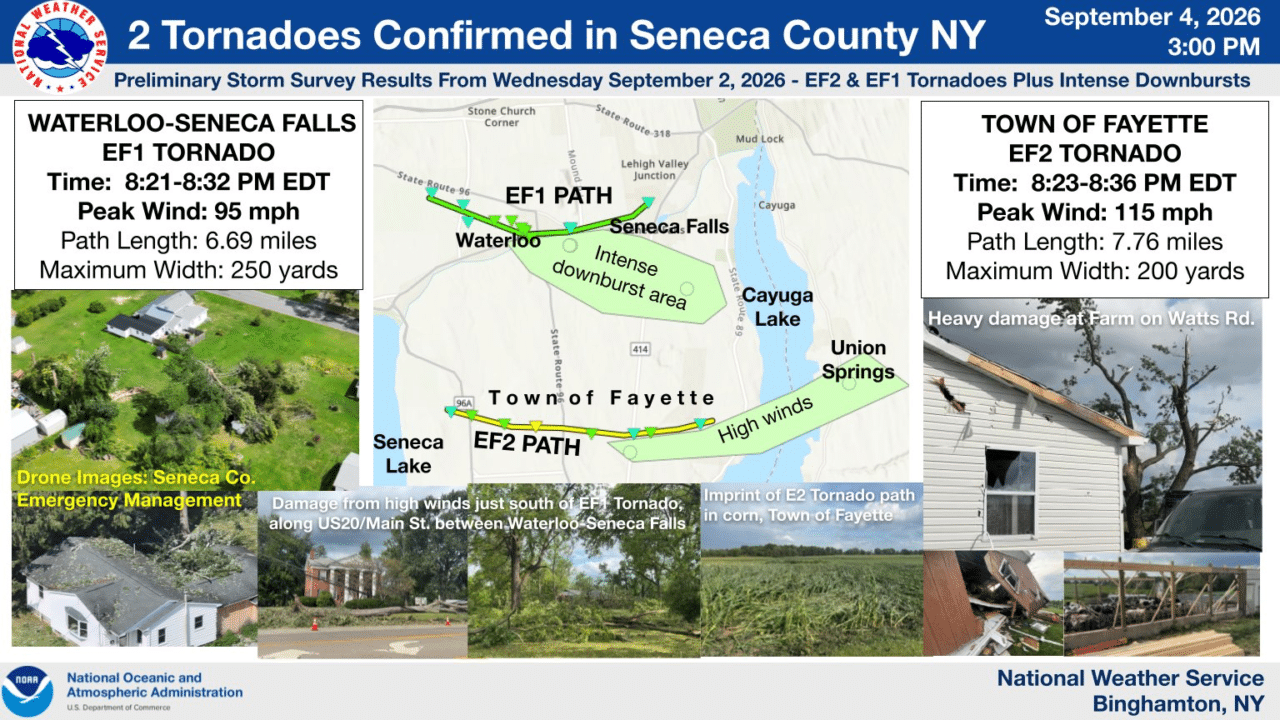
The confirmation adds another tornado to the severe-weather outbreak that struck the Finger Lakes that evening. Two tornadoes were previously confirmed in Seneca County, including an EF2 with winds reaching 115 mph and an EF1 with winds reaching 95 mph, while damaging straight-line winds affected a much broader area.
Tornado crossed Route 104 and damaged homes
The Webster-Ontario tornado touched down at about 7:30 p.m. near Salt Road, just north of Route 104 and about a mile northeast of Webster, the NWS said. Surveyors found several snapped softwood trees near the beginning of the path.
The tornado crossed Route 104 while moving southeast. Near the intersection of Basket Road and Ridge Road, it snapped or uprooted several hardwood trees and knocked down multiple power poles.
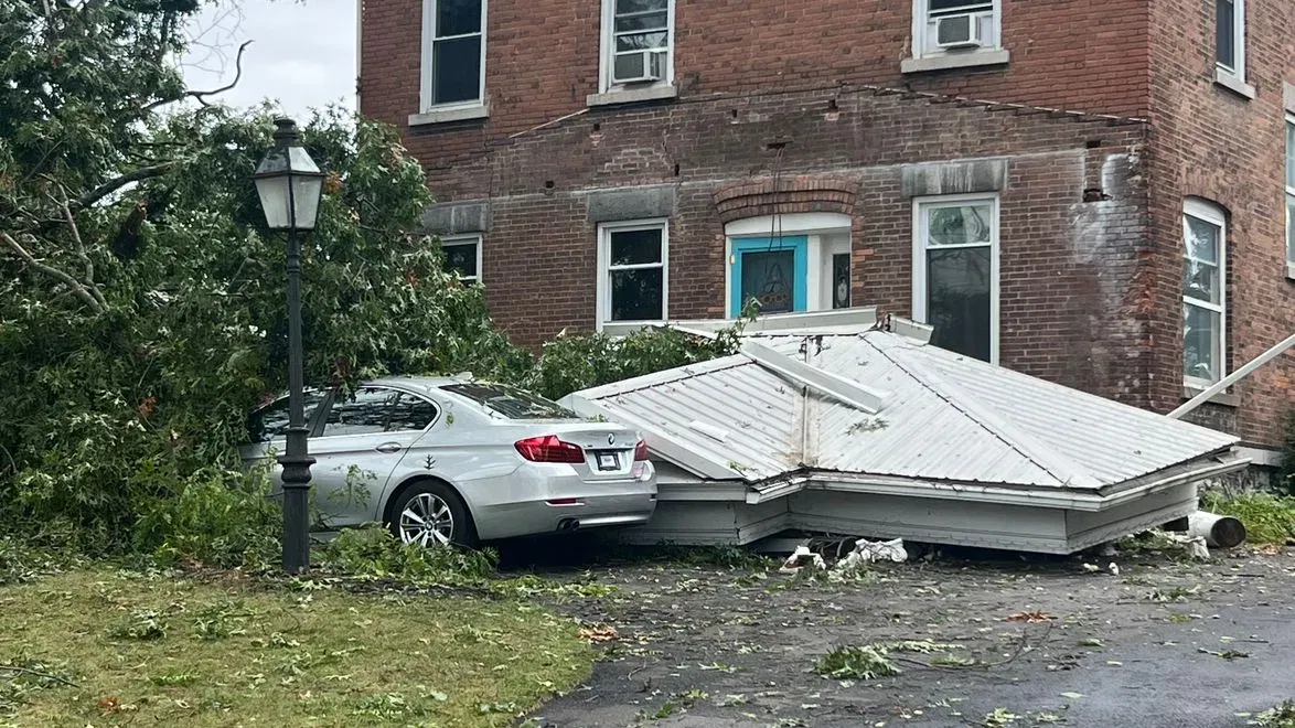
After crossing open fields, the tornado reached a small subdivision west of County Line Road. The NWS said the most significant structural damage along the path occurred on Halesworth Lane and Bannerwood Drive, where several homes sustained roof uplift, considerable shingle loss and siding damage.
Numerous trees were also snapped or uprooted in the subdivision. Surveyors documented additional tree damage along Foxworth Drive before the tornado moved through a large forested area without road access.
The tornado later emerged along North Lincoln Road just north of Whitney Drive. Extensive damage was found at a large property where numerous mature trees were uprooted or snapped before the tornado lifted just east of the area at about 7:34 p.m.

The NWS estimated the tornado's maximum width at 130 yards. Its four-minute track began in Monroe County and ended in Wayne County.
Two tornadoes struck Seneca County later that evening
The same regional storm system produced two tornadoes in Seneca County less than an hour later, according to a separate NWS Binghamton survey.
An EF1 tornado with estimated winds of 95 mph began northwest of Waterloo at about 8:21 p.m. and traveled 6.69 miles into Seneca Falls before ending at about 8:32 p.m. The tornado reached a maximum width of 250 yards, and no injuries or deaths were reported.
An EF2 tornado developed south-southwest of Rose Hill at about 8:23 p.m. and tracked through Fayette before ending south-southwest of Canoga at about 8:36 p.m. That tornado traveled 7.76 miles, reached a maximum width of 200 yards and produced estimated peak winds of 115 mph. No injuries or deaths were reported along that path.
The Seneca County tornadoes were embedded within a broader line of severe thunderstorms and a bow echo, the NWS said. Severe downburst winds caused extensive additional tree damage across the area, and a New York State Mesonet station near Waterloo measured a 76 mph gust between the two tornado tracks.
The Enhanced Fujita Scale classifies tornadoes by estimated wind speed and damage. EF1 tornadoes carry estimated winds of 86 to 110 mph, while EF2 tornadoes carry estimated winds of 111 to 135 mph.
 Older workers learn to put AI to work
 The NWS said the Webster-Ontario findings remain preliminary and could change after final review and publication in the agency's official Storm Data record.

FingerLakes1.com is the region’s leading all-digital news publication. The company was founded in 1998 and has been keeping residents informed for more than two decades. Have a lead? Send it to news@fingerlakes1.com.