


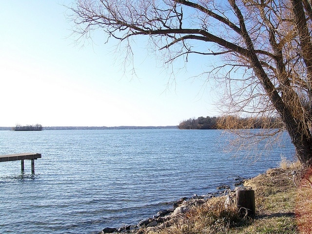
A brisk northwest flow is sweeping cooler air across the Finger Lakes and Central New York on Wednesday, bringing a noticeable break from this week's humidity along with a few leftover showers, patchy clouds and temperatures running well below normal for late July.

The change follows Tuesday night's cold frontal passage, and National Weather Service forecast discussions from Buffalo and Binghamton show the region settling into a quieter pattern after that reset. Highs today are expected to stay mostly in the mid-60s to mid-70s, with the coolest readings in higher terrain and the best chance for stray showers east of the Finger Lakes and across parts of Central New York before high pressure takes over through the end of the workweek.

No watches, warnings or advisories were posted for New York in either office's early Wednesday forecast package, and the broader stretch from Thursday into Saturday is shaping up as the steadiest part of the forecast. The next more organized chance for showers and thunderstorms does not arrive until Sunday into early next week, when a new upper-level trough begins moving toward the Northeast.
Today turns cooler and breezy
Wednesday's weather is a sharp change from the stormier setup that moved through Tuesday. Behind the front, both forecast offices describe a gusty northwest flow pulling in cooler air, with afternoon temperatures struggling in some places to reach 70 and most communities topping out in the 60s or lower 70s.
That cooler air is also keeping the sky from fully clearing. The Binghamton office expects scattered to broken clouds through the day, while Buffalo points to a secondary disturbance rotating around the departing system and enough cool air over the lakes to support a few scattered showers. The result is a day that looks more variable than wet, with dry stretches for many towns but enough lingering moisture for occasional brief showers.
The best chance for those showers appears to be from the eastern Finger Lakes into Central New York, where lake-influenced clouds and lingering low-level moisture may hold on longest. Syracuse and areas east of Cayuga Lake may stay grayer into early afternoon, while communities farther west across Ontario, Seneca, Yates and Wayne counties should see somewhat longer dry periods even if skies remain mixed.
Winds will also be one of the more noticeable parts of the forecast. Binghamton expects northwest winds around 10 to 20 mph with occasional gusts up to 20 or 25 mph, and that breeze should keep the air feeling cooler than recent afternoons, especially in open country and on higher ground from the Southern Tier north into the hillier parts of Central New York.
Clearer skies settle in tonight and Thursday
Conditions improve more decisively once the daytime clouds fade Wednesday evening. High pressure begins building in from the west tonight, and both offices point to lighter winds, clearing skies and a much drier air mass settling over the region.
That setup should allow temperatures to fall quickly after sunset. Overnight lows are expected to dip into the mid-40s to mid-50s, which is a cool late-July night by regional standards, and valley fog is likely to develop again where skies clear earliest and winds go calm. The fog risk will be highest in the usual sheltered valleys across the Southern Tier and inland low spots, but it should be patchy rather than widespread across the Finger Lakes.
Thursday looks like the cleanest weather day in the near-term forecast. Binghamton calls for mainly sunny skies, low humidity and seasonable highs in the 70s, while Buffalo expects high pressure to expand across the lower Great Lakes and keep conditions dry. Any lingering morning fog should burn off quickly, leaving a brighter and calmer day across the region.

The difference from Wednesday will not just be the lack of rain chances. Winds are expected to stay lighter, generally under 10 mph, and the air should feel noticeably less humid than it did ahead of Tuesday's front. For late July, it is a relatively mild and stable setup rather than the hot, storm-fed pattern that often takes over this time of year.
Friday and Saturday bring the warmup
The same high pressure system remains in control Thursday night into Friday morning, and the forecast supports another cool start with lows mainly in the upper 40s to mid-50s. More patchy valley fog is possible before sunrise Friday, especially in the deeper river valleys and parts of the Southern Tier where the air can decouple most easily overnight.
After that, the region begins a gradual warmup. Binghamton's forecast discussion describes Friday and Saturday as mainly sunny with a zonal flow overhead, low dew points staying in the 50s and highs climbing back into the upper 70s to mid-80s. Buffalo also points to temperatures edging back to near or slightly above normal by the weekend.
That combination should keep Friday and Saturday feeling more like a classic midsummer stretch without the heavier humidity. Afternoon temperatures will recover, but the air mass still looks comfortable enough to avoid the muggy feel that often builds ahead of stronger summer storm systems. Overnight lows should remain mostly in the 50s to lower 60s.
The dry signal also looks fairly strong through Saturday. Neither office is carrying a meaningful rain threat during that period, so the pattern favors several days of quieter weather after the unsettled start to the week. Areas nearest the lakes may stay a little cooler at times, but the overall regional trend is toward warmer afternoons and more sun.
Sunday starts the next active stretch
Forecast confidence begins to drop again by Sunday, when the next broader trough starts digging into the Northeast. Binghamton expects moisture and instability to increase through the day, with shower and thunderstorm chances returning first on Sunday and then continuing into Monday and Tuesday as weak disturbances move through the larger-scale pattern.
At this range, the signal is more about a return to an active setup than a locked-in timing window for any one round of storms. The discussion points to precipitable water values and surface dew points rising again by late Sunday and early next week, which would support scattered afternoon and evening thunderstorms once the more humid air returns.
Sunday itself is still expected to be warm, with highs generally in the upper 70s to mid-80s, and the first round of showers or thunderstorms may remain scattered rather than widespread. The more persistent issue may come later Sunday night into Monday and Tuesday, when the trough sharpens and the atmosphere becomes more favorable for repeated chances of showers and storms.
That leaves the late-week and weekend forecast on firmer ground than the early part of next week. Wednesday's cooler, breezy weather gives way to a notably calmer stretch from Thursday through Saturday, then the pattern turns more unsettled again as the next system approaches. The exact timing of that transition is still uncertain, but the broader trend is supported in both forecast offices' outlooks.

Check the latest forecast at the FingerLakes1.com Weather Center.

FingerLakes1.com is the region’s leading all-digital news publication. The company was founded in 1998 and has been keeping residents informed for more than two decades. Have a lead? Send it to news@fingerlakes1.com.