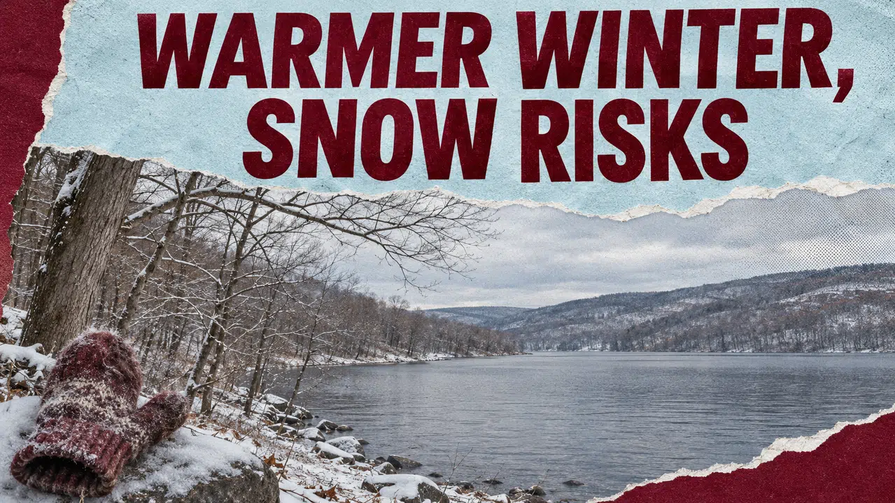
A strengthening El Niño is keeping the odds tilted toward a warmer Finger Lakes winter, a pattern that could reduce heating demand while creating uncertainty for businesses that depend on snow.
Of course, the outlook offers no guarantee of smaller utility bills, trouble-free roads or a snow-free season.
NOAA’s Nov. 12 El Niño update says strong to very strong conditions are likely to continue through January–March 2027. That reinforces a major influence behind the agency’s outlook for December through February.
For the Finger Lakes, the useful distinction is between the winter’s overall pattern and the individual storms that will determine road conditions, ski opportunities and snow-removal work.
Warmer averages can still include severe winter weather
The October winter outlook favors above-normal temperatures across much of the northern United States and the East.
That describes the average over three months. Cold outbreaks and significant winter storms can still occur within a season that finishes warmer than normal.
El Niño develops when tropical Pacific waters remain unusually warm, influencing atmospheric circulation and the jet stream.
NOAA’s latest assessment says the event continues strengthening, but cautions that even a very strong El Niño does not guarantee that every region will experience its typical effects.
The Finger Lakes’ October outlook already showed a clearer signal for warmer temperatures than for a wetter or drier season.
That distinction remains important when applying national headlines to communities around Canandaigua, Seneca and Cayuga lakes.
Heating demand and winter businesses could move in different directions
A November Great Lakes regional assessment identifies potential economic benefits from milder conditions, including reduced heating needs and fewer weather interruptions for some outdoor work.
It also identifies potential losses for snow removal, towing, salt sales and businesses dependent on winter recreation.
Those are regional possibilities, rather than predictions for individual Finger Lakes businesses.
For households, lower weather-driven heating demand would not necessarily produce a smaller bill. The amount paid also depends on energy prices, delivery charges, the building and how much energy a household uses.

For ski areas and other winter recreation businesses, the timing and duration of cold weather matter alongside natural snowfall. A seasonal temperature average cannot identify the conditions during a particular holiday weekend.
Lake-effect snow still depends on cold air and wind
A warmer seasonal forecast does not eliminate the ingredients for lake-effect snow.
The National Weather Service explains that lake-effect bands form when cold air moves across relatively warm, unfrozen Great Lakes water. Heat and moisture enter the atmosphere, helping clouds and narrow snow bands develop.
Wind direction determines where those bands travel, while the geography of the lakes and surrounding land also influences snowfall.
That can produce sharp differences over short distances. Heavy snow may fall in one location while nearby communities receive little.
For people traveling between the Finger Lakes, Rochester and Central New York, the practical information will come from forecasts issued closer to a storm, when meteorologists can evaluate the cold air, lake conditions and winds together.
NOAA’s seasonal outlook does not predict accumulated snowfall or the track of individual storms.
Precipitation remains a less certain local signal
The national outlook favors wetter conditions across the southern United States and along the East Coast, with a drier tilt in parts of the Great Lakes.
Neither description provides a precise forecast for every Finger Lakes county.
The October maps place the region near a broad transition between equal precipitation chances farther west and a wetter tendency farther east. Equal chances means no category is favored; it does not mean forecasters expect an average total.
Precipitation also measures water from rain and melted snow, rather than snowfall depth. A wetter season does not automatically produce more snow.
For agriculture, a warmer average also cannot establish when the last spring freeze will occur. The regional assessment cautions against using El Niño to predict that date or the severity of a particular storm.
The Climate Prediction Center’s next seasonal outlook is scheduled for Thursday, Nov. 19. Residents can check official local forecasts and warnings as individual winter systems develop.
Make FL1 part of your day.
Local reporting. Useful updates. More ways to stay close to your community.
Go ad-free
Support independent local reporting and enjoy FL1 without display ads.
$4.99 / month
Become a member →Cancel anytime. Third-party media players may contain ads.Get the daily briefing
Start your morning with the headlines that matter across the Finger Lakes.
Find more FL1 on Google
Choose FingerLakes1.com as a preferred source to see more of our reporting in your Google news results.

FingerLakes1.com is the region’s leading all-digital news publication. The company was founded in 1998 and has been keeping residents informed for more than two decades. Have a lead? Send it to news@fingerlakes1.com.