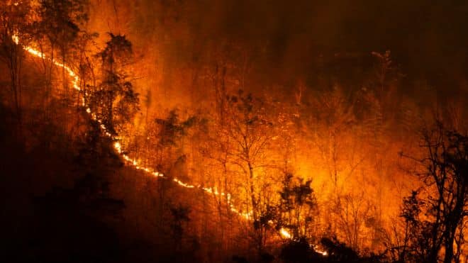
Governor Kathy Hochul announced a new real-time fire danger rating system aimed at providing New Yorkers with improved wildfire risk information. In partnership with the New York State Mesonet at the University at Albany and the Department of Environmental Conservation (DEC), the system will offer daily fire danger updates using localized weather data, enhancing public safety and emergency preparedness.
“We’re experiencing the effects of climate change more frequently, and the risk of wildfires continues to grow,” Governor Hochul said. “This advanced system will provide essential tools and information to help New Yorkers prepare for and respond to these threats, ensuring that our communities and natural resources are better protected.”

The new tool, developed using data from the New York State Mesonet’s 127 weather observation stations across the state, delivers real-time information updated every five minutes. The system monitors key factors like temperature, humidity, wind speed, and precipitation, enabling the creation of accurate fire danger ratings accessible to the public through the DEC’s website.
Enhanced wildfire risk tracking and public safety
DEC Interim Commissioner Sean Mahar emphasized the importance of reliable data in deploying resources and advising communities. “Accurate information is crucial, even before fires ignite, to help us prepare and protect communities. This partnership will enhance our ability to provide precise wildfire risk updates and safety advisories.”
The system rates wildfire risk levels in different regions of the state, ranging from low to extreme, and creates a visual map to inform community leaders and residents. Currently, the fire danger rating across New York is classified as “High,” indicating a heightened risk for wildfires due to ongoing dry conditions.
New York State Mesonet Director June Wang noted the increasing need for accurate fire weather information due to rising temperatures and more severe fire conditions across the country. “This collaboration maximizes the capabilities of Mesonet’s data to provide a precise fire danger rating scale that benefits all New Yorkers.”
Real-time data collection and community benefits
The New York State Mesonet, the nation’s largest early-warning weather detection system, supplies critical data that feeds into weather prediction models and decision-making tools used by emergency managers and local authorities. The DEC’s new Fire Danger Map, based on this data, provides continuous updates and is publicly accessible, helping communities adjust their activities to minimize wildfire risks.
Additionally, the system integrates data with the national Weather Information Management System to support the National Fire Danger Rating System, ensuring consistency and accuracy in wildfire reporting.
Safety recommendations amid current fire risk
With fire danger rated as “High” statewide, the DEC advises caution, as fires may spread quickly from various causes, including unattended campfires. Although the statewide burn ban has ended, residents are urged to limit brush burning and comply with fire safety guidelines. Open burning remains prohibited, except for specific cases such as small campfires, cooking fires, or ceremonial bonfires using untreated wood.
New Yorkers can access the fire danger map on the DEC and New York State Mesonet websites, offering up-to-date information and tips on wildfire prevention. For further details on safe practices, the DEC’s FIREWISE New York page provides comprehensive guidance on minimizing wildfire risks.

FingerLakes1.com is the region’s leading all-digital news publication. The company was founded in 1998 and has been keeping residents informed for more than two decades. Have a lead? Send it to news@fingerlakes1.com.