

The picture is becoming clearer about wintry weather that’s arriving in the Finger Lakes and Central New York today. Freezing rain, sleet, and snow were all in the mix as the National Weather Service issued a flurry of advisories and warnings — even upgrading a few along the way.
Right now, a Winter Weather Advisory is active for Ontario, Onondaga, Livingston, Wayne and Monroe counties. These areas can expect 3-5 inches of snow with ice accumulation of up to a tenth of an inch. Wind gusts up to 35 mph will also be likely here.
A Winter Storm Warning was active for Tompkins County, but was expanded to include Cayuga, Seneca, Yates, and Schuyler, and Steuben counties. More accumulation is expected here, with similar ice precipitation and wind gusts. By the time snowfall ends 4-7 inches of snow is expected.
The advisories and warnings are set to end during the early-evening hours on Friday. That means the evening commute tonight will likely be the most-impacted. Take it slow, plan for extra time on the road, and remember that it’s still early in the winter season here.

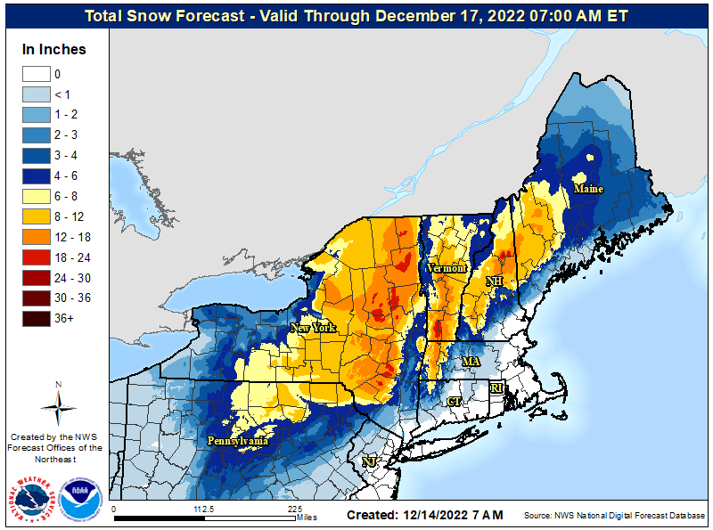
How much snow will fall?
What does the radar look like?
Follow along with the latest from the National Weather Service below:
A Twitter List by FLXJoshFingerLakes1.com is the region’s leading all-digital news publication. The company was founded in 1998 and has been keeping residents informed for more than two decades. Have a lead? Send it to [email protected].