

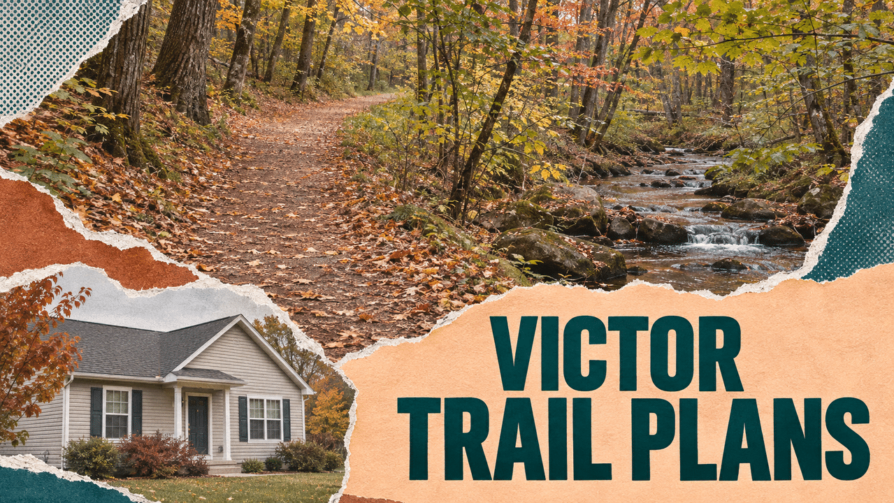
Public hiking trails through wooded ravines and along a creek could become part of Victor’s proposed Nova Rise subdivision, but parking, maintenance access and protections for neighboring homes still need to be worked into the final plans.
The Conservation Board reviewed those details Nov. 17 as the developer presented a 74-lot clustered subdivision on 158.2 acres along Brownsville Road. The proposal includes approximately 87 acres of open space, exceeding the roughly 79 acres required.
The board supported the goals of public access and stronger neighborhood screening while calling for land protection agreements that clearly define what owners and trail volunteers could do. Its comments will go to the Planning Board ahead of a Dec. 8 review.
Victor Hiking Trails would take two parcels
The project team said Victor Hiking Trails would receive two open-space parcels previously proposed for transfer to Genesee Land Trust.
Trail representatives described opportunities for natural-surface paths along a creek and through wooded ravines, with routes following the contours of the land to limit erosion. The paths shown on the subdivision drawings remain conceptual.
Representatives said the project would help expand access in northeastern Victor, an area they identified as having fewer trail opportunities. Their broader goal is to have a trail within a mile of every home in town.
The proposed paths would be available to the public, rather than serving only subdivision residents.
That makes parking an important part of the design. Trail representatives discussed space for approximately six vehicles, along with access for equipment used to build and maintain the paths.
A substantial drop between Brownsville Road and the adjoining field complicates that work. Creating parking could require fill, grading and attention to roadside drainage.
The board discussed carving a small parking area out of the conservation easement while keeping it within the land transferred to Victor Hiking Trails. The project team said the proposal had enough open space to accommodate an adjustment without falling below the requirement.
Land protections must allow trail maintenance
Much of the meeting focused on writing conservation restrictions that protect the property while allowing volunteers to establish and maintain usable trails.

Trail representatives requested flexibility to move paths around wet areas, respond to erosion, clear fallen trees and use small equipment when necessary. They also discussed seasonal mowing, signs, benches and possible picnic tables.
The board supported those uses but questioned whether the town’s standard easement language would accommodate all of them.
An agreement referring only to existing trails, for example, could create problems if a route needed to be relocated later. Restrictions on motorized equipment could also interfere with maintenance.
The board favored starting with a site-specific conservation easement and working with town staff and legal counsel on revisions. Another land protection method could be considered if the standard agreement proved too restrictive.
The discussion also distinguished the public trail parcels from other protected areas. The board favored stronger restrictions around wetlands near future homes and language allowing farming to continue where crops are already grown, without permitting additional clearing elsewhere.
- Wilmorite CEO defends Eastview Mall takeover plan as Victor’s comment deadline approaches
- Victor reviews Bass Pro safety inspections, traffic plans ahead of Thursday opening
- Victor adopts 2027 budget with flat town tax rate, lower fire protection levy
- VICTOR: Town Board holds second meeting of June (webcast)
Screening would precede nearby homes
The project team also outlined changes intended to improve separation from homes on Azano Circle, where earlier reviews raised concerns about buffers, grading and neighborhood connections.
Those changes include relocating a lot away from the boundary and adding a landscaped berm and trees.
Developer representatives said utilities must be extended through the site early, even though construction would occur in phases. They plan to install the berm and landscaping during that initial work, giving trees potentially two to three years to establish before the nearby section is occupied.
The board emphasized that the screening should remain protected after individual properties are sold. The agreements also need to allow dead trees to be replaced so the buffer continues to serve its purpose.
Other revisions presented included a three-way stop at the cul-de-sac road intersection, crosswalks and sidewalk adjustments near Azano Circle.
The Conservation Board will provide comments before the project returns to the Planning Board Dec. 8, with conservation language and the proposed trail parking area among the details still to be resolved.
Make FL1 part of your day.
Local reporting. Useful updates. More ways to stay close to your community.
Go ad-free
Support independent local reporting and enjoy FL1 without display ads.
$4.99 / month
Become a member →Cancel anytime. Third-party media players may contain ads.Get the daily briefing
Start your morning with the headlines that matter across the Finger Lakes.
Find more FL1 on Google
Choose FingerLakes1.com as a preferred source to see more of our reporting in your Google news results.

FingerLakes1.com is the region’s leading all-digital news publication. The company was founded in 1998 and has been keeping residents informed for more than two decades. Have a lead? Send it to news@fingerlakes1.com.