

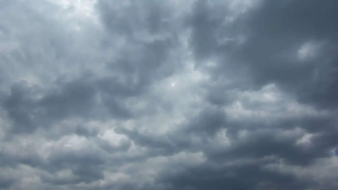
Low clouds, patchy fog and a few lingering showers will keep Monday gray across the Finger Lakes and Central New York before drier air and a steady warming trend take hold through the middle of the week.

Most communities will see little additional rain, with temperatures holding in the 60s under persistent cloud cover. Conditions begin to brighten Tuesday, followed by a sharp warmup that could send some lower-elevation locations near 80 degrees Thursday, according to the National Weather Service offices in Buffalo and Binghamton.

Clouds linger through Monday
The coastal low that brought rain into the region Sunday will continue to weaken and drift away Monday. Enough low-level moisture will remain behind it to support areas of drizzle or spotty light rain during the morning, but widespread steady rain is no longer expected across most of the Finger Lakes.
The best chance for additional showers will be farther south and east, especially toward the Catskills and northeast Pennsylvania. A few showers may also linger into the afternoon near the eastern edge of Central New York and across parts of the North Country. Additional rain in the southeastern part of the region is generally expected to total one-tenth to one-quarter of an inch.
Farther west, including much of the Finger Lakes and the Rochester area, the day will be mainly cloudy with only a slight chance of a passing shower or drizzle. Clouds will be slow to lift because a northerly flow will keep cool, damp air in place near the ground.
Patchy fog may reduce visibility early Monday, especially in valleys and over higher terrain that intersects the low cloud deck. The cloud base should gradually rise during the afternoon, but a broad clearing trend is unlikely before the day ends.
Highs will be seasonable, ranging from the low to upper 60s. Rochester is expected to reach about 64 degrees, with Geneva near 65, Syracuse and Elmira near 66 and Ithaca near 67. North to northeast winds will generally remain light, mostly between 3 and 8 mph.
Fog returns Monday night
The atmosphere will remain damp Monday night even as the coastal system pulls farther away. Winds are expected to become light or calm while moisture from the recent rain stays trapped near the surface.
That combination will support another round of patchy to widespread fog and low clouds overnight into Tuesday morning. Valley locations and higher terrain will have the greatest chance for reduced visibility, while a stray evening shower may persist in parts of Central New York before fading.
Overnight lows will settle into the lower and mid-50s across much of the Finger Lakes and Central New York. Cooler readings in the upper 40s are possible toward the North Country, but frost is not expected in the main population centers.
Sunshine returns Tuesday
High pressure will build more firmly into the region Tuesday, beginning a quieter stretch of weather. Fog and low clouds may be slow to clear during the morning, especially in the usual river valleys, but skies should turn partly to mostly sunny as the day progresses.
Temperatures will respond to the returning sunshine, with highs near 68 to 70 degrees across most of the region. Rochester and Geneva are forecast to reach about 69, while Syracuse, Ithaca and Elmira should be close to 70. Winds will remain light from the north or northwest.
Tuesday night should be mainly clear and cool, with lows generally from the upper 40s to lower 50s. Patchy valley fog may form again late at night, but the drier air should limit its coverage compared with Monday night.
Warmth builds Wednesday and Thursday
The warming trend will accelerate Wednesday as winds turn southerly and warmer air spreads into the eastern Great Lakes. Skies should range from partly to mostly sunny, with highs reaching the mid-70s across much of the Finger Lakes and Central New York.
The warmest readings Wednesday are expected in the deeper valleys and away from Lake Ontario. Forecast highs range from about 72 near Watertown to 75 in Rochester and Geneva, 76 in Syracuse and Elmira and 77 in Ithaca.
Thursday is expected to be the warmest day of the week. High temperatures will rise about 10 degrees or more above normal in many places, reaching the upper 70s to around 80 across the Finger Lakes and lower 80s in some Central New York valleys.
Most of Thursday should remain dry with a mix of sun and clouds. Southwest winds will increase modestly, but current forecasts keep speeds below levels that would create a significant wind concern.
Showers return late Thursday into Friday
The next cold front will approach from the west late Thursday, bringing the week's next organized chance for showers. The most likely window for rain currently begins Thursday night and continues into Friday, though the exact arrival and departure times remain uncertain.
Current guidance suggests the rain will be light rather than a widespread heavy-rain event. The Buffalo office places the chance of receiving more than one-tenth of an inch during any six-hour period below 25 percent, while point forecasts across the region carry shower chances of about 30% to 40% Thursday night and Friday.
Clouds and the front will end the midweek warmth. Friday highs are expected to range from the upper 60s to near 70, with showers tapering from west to east as the front moves through.
Cooler weather follows for the weekend
High pressure is expected to return behind the front and bring a cooler start to the weekend. Saturday currently looks mainly dry, with partial sunshine and highs in the mid to upper 60s. Overnight lows Friday and Saturday should fall into the mid to upper 40s in many locations.
Confidence decreases by Sunday as the next system approaches. Some forecast guidance keeps high pressure in control longer, which would delay the next round of rain, while current point forecasts introduce a chance of showers Saturday night and Sunday. Sunday highs are expected to reach the mid to upper 60s.
Check the latest forecast at the FingerLakes1.com Weather Center.

FingerLakes1.com is the region’s leading all-digital news publication. The company was founded in 1998 and has been keeping residents informed for more than two decades. Have a lead? Send it to news@fingerlakes1.com.