

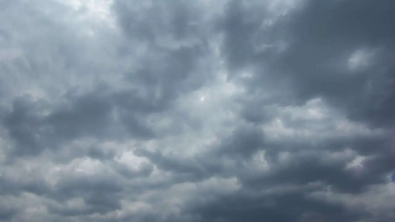
Cool air and stubborn clouds will set the tone across the Finger Lakes and Central New York on Monday, with most communities staying dry as high pressure builds into the region.

Afternoon temperatures will reach only the upper 50s to mid-60s, and a north to northeast breeze will make the start of the week feel cooler than recent days, according to the National Weather Service offices in Buffalo and Binghamton. The next rain system now appears more likely to pass south of most of the region Monday night and Tuesday.
Clouds linger through Monday
Low clouds and patchy fog are expected early Monday, especially in the valleys of Central New York and the Southern Tier. The fog should fade during the morning as drier air moves in, but the cloud cover will be slower to break. Higher clouds arriving later in the day will filter some of the afternoon sunshine.
The mostly cloudy sky does not signal another widespread rain day. High pressure moving from Ontario toward Quebec is bringing drier air into western and central New York, and the National Weather Service expects most of the region to remain dry through the day.
The temperature difference from place to place will be modest but noticeable. Highs are forecast near 61 in Rochester and 62 in Geneva, with the mid-60s expected around Syracuse, Ithaca and Elmira. Higher terrain may stay in the 50s. Northerly winds will generally run 6 to 15 mph in the eastern part of the region, with a northeast breeze closer to Lake Ontario.
Clouds may thin at times, but an extended period of clear sky is unlikely Monday. Air flowing over the warmer Great Lakes will help maintain lower clouds near the lakes and farther inland, while another layer of high clouds crosses the area. Any afternoon sun is more likely to be filtered or brief than sustained.
Monday night remains chilly and mainly dry. Lows will generally fall into the 40s, with some colder spots in Central New York approaching the upper 30s. Clouds should increase toward the Southern Tier as a weak low pressure system moves east across Pennsylvania.
Lake Ontario shore faces dangerous currents
The cool northeast flow is also stirring up Lake Ontario. Beach hazard statements are in effect for Monroe and Wayne counties through Wednesday morning and for northern Cayuga County through Monday evening. The National Weather Service says strong currents and dangerous swimming conditions are expected at those beaches.
Marine advisories are in effect for portions of the lake's nearshore waters as winds and waves increase. Those conditions are expected to ease gradually later in the week as the pressure difference across the lake weakens. The beach statements concern the lakeshore; they do not indicate a broader inland storm threat.
Tuesday rain chance stays near the state line
A wave of low pressure will track across Pennsylvania Monday night into Tuesday, but its projected path has shifted south. The latest Binghamton forecast cuts back expected rain in New York and places the best chance of measurable rain farther south, in northeastern Pennsylvania.
The northern edge of that rain remains uncertain. A few light showers could brush the Southern Tier, including areas near Elmira, while most of the Finger Lakes and Central New York are more likely to stay dry. A further southward shift would keep even more of the region out of the rain. The sharper change in rainfall is expected across Pennsylvania rather than across the Finger Lakes.

Skies should brighten from north to south as the day goes on. Rochester, Geneva and Syracuse are forecast to see mostly sunny conditions, while clouds may linger longer closer to the Pennsylvania border. Highs should reach the low to mid-60s across much of the region; Syracuse could approach the upper 60s, and higher elevations will stay cooler.
Northeast to east winds will continue to carry cool air into the area. Tuesday night should be dry in most places, with temperatures again falling into the 40s. The air will be cool enough for a few normally colder inland locations to approach frost conditions if skies clear and winds ease, but the weather service has not indicated a widespread frost event.
Dry weather holds Wednesday and Thursday
High pressure remains the dominant feature through the middle of the week. Wednesday and Thursday are expected to be mainly dry with partial to mostly sunny skies, and the chance of showers will be low across most of the Finger Lakes and Central New York.
The air will warm gradually, although temperatures will remain on the cool side for late September. Highs are generally forecast in the mid-60s, with readings closer to the upper 60s in parts of Central New York. Overnight lows will mostly return to the 40s, and a few sheltered valleys could be colder where clouds thin and winds become light.
There is still a small chance that weak disturbances passing to the south could send a brief light shower into the western Southern Tier. The stronger high pressure to the north is expected to keep most of the region dry, especially farther north and east. That difference in confidence matters more than any single projected shower location this far in advance.
The persistent easterly flow will ease slowly as the week progresses. Some patchy valley fog may develop near daybreak Friday if skies clear enough and winds relax, but the broader forecast remains dry through the end of the workweek for most communities.
Coastal low brings uncertainty late in the week
A low pressure system may organize off the Mid-Atlantic coast by Friday and linger near southern New England into Saturday. Its eventual position will determine whether rain can wrap west into eastern parts of Central New York. For now, the National Weather Service expects most of the Finger Lakes to remain dry.
The track is not settled. A storm farther offshore would leave the region with little more than clouds and a continued cool breeze. A farther west position could bring showers into parts of Central New York and the Southern Tier late Friday or Saturday. The current forecast does not support a confident call for widespread rain or specific rainfall amounts here.
Temperatures should edge upward late in the week, with Friday highs mainly in the mid- to upper 60s. Saturday is also forecast to reach the 60s, with only a slight chance of showers around Syracuse and the Southern Tier. Sunday currently looks mostly sunny and dry across much of the region, with highs near the upper 60s, though the coastal storm's track could still change that outlook.

Check the latest forecast at the FingerLakes1.com Weather Center.

FingerLakes1.com is the region’s leading all-digital news publication. The company was founded in 1998 and has been keeping residents informed for more than two decades. Have a lead? Send it to news@fingerlakes1.com.