

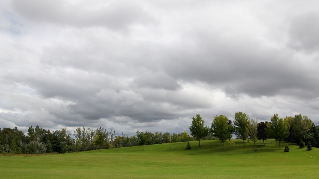
Fog and low clouds will linger across the Finger Lakes and Central New York on Tuesday morning before drier air gradually brings some improvement from north to south later in the day.

Rain is not expected to be a significant part of Tuesday's weather, but clouds may hold through much of the afternoon in some areas. Highs will reach the upper 60s before temperatures climb into the 70s Wednesday and approach 80 Thursday, according to the National Weather Service offices in Buffalo and Binghamton.
Fog and low clouds linger Tuesday
Moisture left behind by the departing coastal system will keep areas of fog and a low cloud deck in place through the first part of Tuesday. Visibility may be lowest over higher terrain, where the hills intersect the cloud layer, and in valleys where fog commonly settles during calm mornings.
The fog and lowest clouds should begin lifting by late morning, but the improvement will be gradual. Drier air will push south across the region, allowing the cloud cover to break first near Lake Ontario and later across the inland Southern Tier. Some southern locations may remain mostly cloudy well into the afternoon.
Most of the region should remain dry. A few patches of drizzle cannot be ruled out where the low clouds are deepest, but the chance is too limited for widespread measurable rain.
Temperatures will be fairly uniform despite differences in the timing of the clearing. Rochester and Geneva are forecast to reach about 68 degrees, while Syracuse, Ithaca and Elmira should be near 69. North to northwest winds will remain light, generally at 6 mph or less.
Some breaks of sun are possible later in the day, especially across the northern and western Finger Lakes. Those breaks will mark the start of a warmer pattern, though Tuesday will remain the coolest day through the middle of the week.
Fog may redevelop Tuesday night
Skies should become partly cloudy Tuesday night as high pressure settles more firmly over the region. Light winds and lingering moisture near the ground will create another favorable setup for fog, especially in river valleys, low-lying areas and places that clear early.
The fog could become more widespread than it was during the day. It may reduce visibility late Tuesday night and persist into the beginning of Wednesday before mixing out after sunrise.
Overnight temperatures will fall into the upper 40s and lower 50s. Forecast lows include about 51 in Rochester, 50 in Geneva and Elmira and 49 in Syracuse and Ithaca. The night will remain dry outside of moisture from fog and low clouds.
Warmer air arrives Wednesday
Wednesday will begin with areas of fog, but conditions should improve during the morning as a ridge of high pressure builds over the Northeast. Skies will turn partly sunny in many communities, with a south or southwest breeze beginning to carry warmer air into the region.
Highs will rise into the mid-70s, several degrees above Tuesday's readings. Rochester and Geneva are expected to reach about 74 degrees, Syracuse and Elmira about 75 and Ithaca about 76. Winds will stay light, and no rain is expected.
Clouds will increase again Wednesday night, but temperatures will not fall as sharply. Lows will range from the upper 50s in the Southern Tier to around 60 or the lower 60s farther north, setting up an unusually warm final day of September.
Warmth peaks Thursday
Thursday is expected to be the warmest day of the week as southerly flow strengthens ahead of an approaching cold front. Afternoon temperatures will reach the upper 70s across much of the Finger Lakes and Central New York, with some lower-elevation locations making a run at 80 degrees.
Current forecasts call for highs near 78 in Rochester, Geneva and Elmira and around 79 in Ithaca and Syracuse. The western Finger Lakes and Genesee Valley are among the areas most likely to touch 80. Those readings would be roughly 10 degrees or more above normal for the start of October.
Most of Thursday should remain dry with a mix of clouds and sunshine. Southwest winds will increase modestly as the front approaches, but gusts are generally expected to remain around 15 to 20 mph where they develop.
The timing of the front remains uncertain by about six to 12 hours. The most likely window for rain begins Thursday night, though a slower arrival could keep much of the evening dry, especially from the Finger Lakes east toward Syracuse and the Southern Tier.
Rain moves through Friday
Showers will become more widespread Friday as the cold front crosses the region from west to east. Rain is likely in current forecasts, but there is no indication of a widespread heavy-rain or severe-weather threat.
The front's timing will affect Friday temperatures. Rochester may hold near 69 degrees after an earlier arrival, while Geneva reaches the lower 70s and Syracuse the mid-70s. Ithaca and Elmira could climb into the upper 70s if the front and steadier rain arrive later in the day.
Showers should taper Friday night as the front moves east. Cooler air will follow, sending overnight lows into the upper 40s and bringing a more seasonable feel to the start of the weekend.
Cooler Saturday before Sunday showers
Saturday should begin with a few lingering showers possible, mainly early and across areas where the front clears more slowly. Most of the day is expected to turn dry with partial sunshine as high pressure briefly builds behind the front.
Highs will range from the mid to upper 60s, including about 64 in Rochester, 65 in Geneva, 67 in Syracuse and Elmira and 68 in Ithaca. Northerly winds will remain light, with Saturday offering the coolest daytime temperatures of the forecast period.
Another low pressure system is expected to move through the Northeast on Sunday, bringing a renewed chance for showers. Current guidance has come into better agreement that the system will arrive during the second half of the weekend, but uncertainty remains over its exact track and its interaction with a separate low over Canada.
Sunday highs are expected to reach the mid to upper 60s. The system should move more quickly than the coastal storm that affected the region earlier this week, allowing drier and cooler weather to return early next week.
Check the latest forecast at the FingerLakes1.com Weather Center.

FingerLakes1.com is the region’s leading all-digital news publication. The company was founded in 1998 and has been keeping residents informed for more than two decades. Have a lead? Send it to news@fingerlakes1.com.