

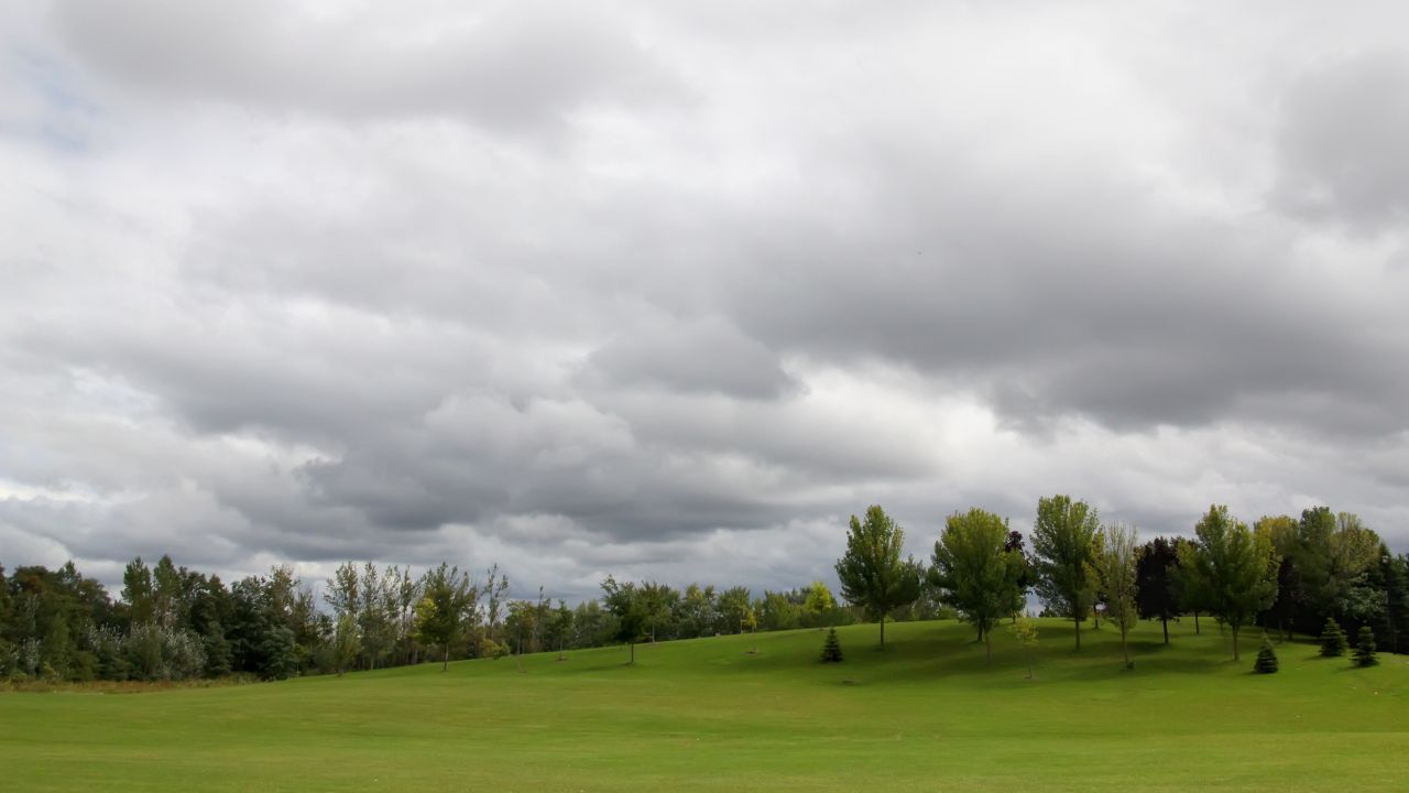
Saturday will stay dry for most of the Finger Lakes and Central New York, but increasing clouds and a strengthening north wind will signal a change before widespread rain arrives Sunday.

Highs will reach the upper 60s to around 70 before a cooler, wetter Sunday, according to the National Weather Service offices in Buffalo and Binghamton. The latest Buffalo forecast and Binghamton forecast show a coastal low spreading rain farther inland while producing gusty winds through the weekend.

Clouds and wind increase Saturday
Patchy fog may briefly reduce visibility in sheltered valleys and near some lakes early Saturday, especially around Ithaca and parts of the Southern Tier. The fog will lift after sunrise, leaving a dry start across the region.
Skies will vary from mostly sunny near Rochester and Geneva to partly sunny across the central Finger Lakes and mostly cloudy around Syracuse. High clouds will continue spreading west as a coastal storm slowly organizes off the mid-Atlantic coast, with cloud cover becoming thicker later in the day and at night.
Temperatures will remain fairly uniform despite the difference in cloud cover. Forecast highs range from about 67 in Geneva to 68 in Rochester and Elmira, 69 in Ithaca and near 70 in Syracuse.
The wind will become the most noticeable part of Saturday's weather. North winds will generally run from 5 to 15 mph, with gusts reaching 20 to 25 mph in parts of the Finger Lakes, Central New York and Southern Tier. The combination of an offshore low and high pressure over eastern Canada will keep that northerly flow in place into Sunday.
Most inland communities should remain rain-free through the daylight hours. Light rain may begin reaching southeastern parts of Central New York late in the day as the first moisture wraps around the coastal low, but the steadier rain will hold off until Saturday night or Sunday across most of the region.
Saturday night will turn mostly cloudy, with lows mainly in the low to mid-50s. North winds will remain elevated, and gusts around 20 to 25 mph will be possible around the Finger Lakes and Southern Tier as the rain shield continues advancing from east to west.
Rain spreads west Sunday
Sunday will be the wettest and coolest day of the weekend. Rain should reach Syracuse and the eastern Finger Lakes during the morning, then spread into the western Finger Lakes and Rochester area by late morning or early afternoon.
That east-to-west progression means the longest period of rain is expected across Central New York, the Southern Tier and the eastern Finger Lakes. Areas farther west may have a later start and lower totals, although confidence has increased that the rain will extend farther inland than earlier forecasts suggested.
Rainfall through Sunday night could total about a half-inch to three-quarters of an inch across parts of the Southern Tier and areas farther east. Most other locations are expected to receive less than a half-inch, with the lightest amounts toward Rochester and points farther west. Current forecasts do not indicate a significant flood threat from the system.

The rain will be accompanied by a persistent north to northeast wind. Gusts of 20 to 30 mph are possible across much of Central New York and the Southern Tier, while exposed higher elevations could occasionally approach 30 to 40 mph. Winds should be somewhat lower across the lower terrain and western Finger Lakes, but the day will still feel raw beneath the clouds.
Highs Sunday will generally range from the low 60s across the Finger Lakes and Southern Tier to the mid-60s around Rochester and Syracuse. No thunderstorms or severe weather are expected to be a primary concern with the coastal system.
Rain will remain likely in many areas Sunday evening before coverage gradually decreases overnight. The system will begin turning northeast along the New England coast, allowing the western edge of the rain to retreat toward Central New York.
Showers taper Monday
Some rain may linger Monday morning, especially across Central New York and the Southern Tier. Showers will end from west to east as the coastal low weakens and pulls away, although clouds may be slow to break across the region.
Monday highs should recover into the mid-60s, with readings near 64 around Rochester, 65 near Geneva and the upper 60s around Ithaca, Elmira and Syracuse. Northerly winds will gradually ease through the day and into Monday night.
The timing of the last showers remains somewhat uncertain because the low is expected to move slowly before accelerating northeast. Western parts of the Finger Lakes may turn dry early Monday, while areas farther east could hold onto occasional light rain into the afternoon.
Drier and warmer by midweek
High pressure will build across the Northeast on Tuesday and Wednesday, bringing a gradual return to dry weather. Tuesday may begin mostly cloudy, but the air mass will continue drying and skies should become brighter by Tuesday night and Wednesday.
Highs Tuesday are expected to reach the upper 60s to around 70. More sunshine and warmer air should lift temperatures into the low to mid-70s Wednesday, with Ithaca and Geneva among the locations that could reach the middle 70s.
Another weak disturbance may approach Thursday or Friday, but confidence in its timing remains low. A slower arrival would allow temperatures to remain in the 70s with more dry time, while an earlier push of clouds and showers would hold readings lower. Scattered rain chances are currently included for parts of the region late in the week.

Check the latest forecast at the FingerLakes1.com Weather Center.

FingerLakes1.com is the region’s leading all-digital news publication. The company was founded in 1998 and has been keeping residents informed for more than two decades. Have a lead? Send it to news@fingerlakes1.com.