

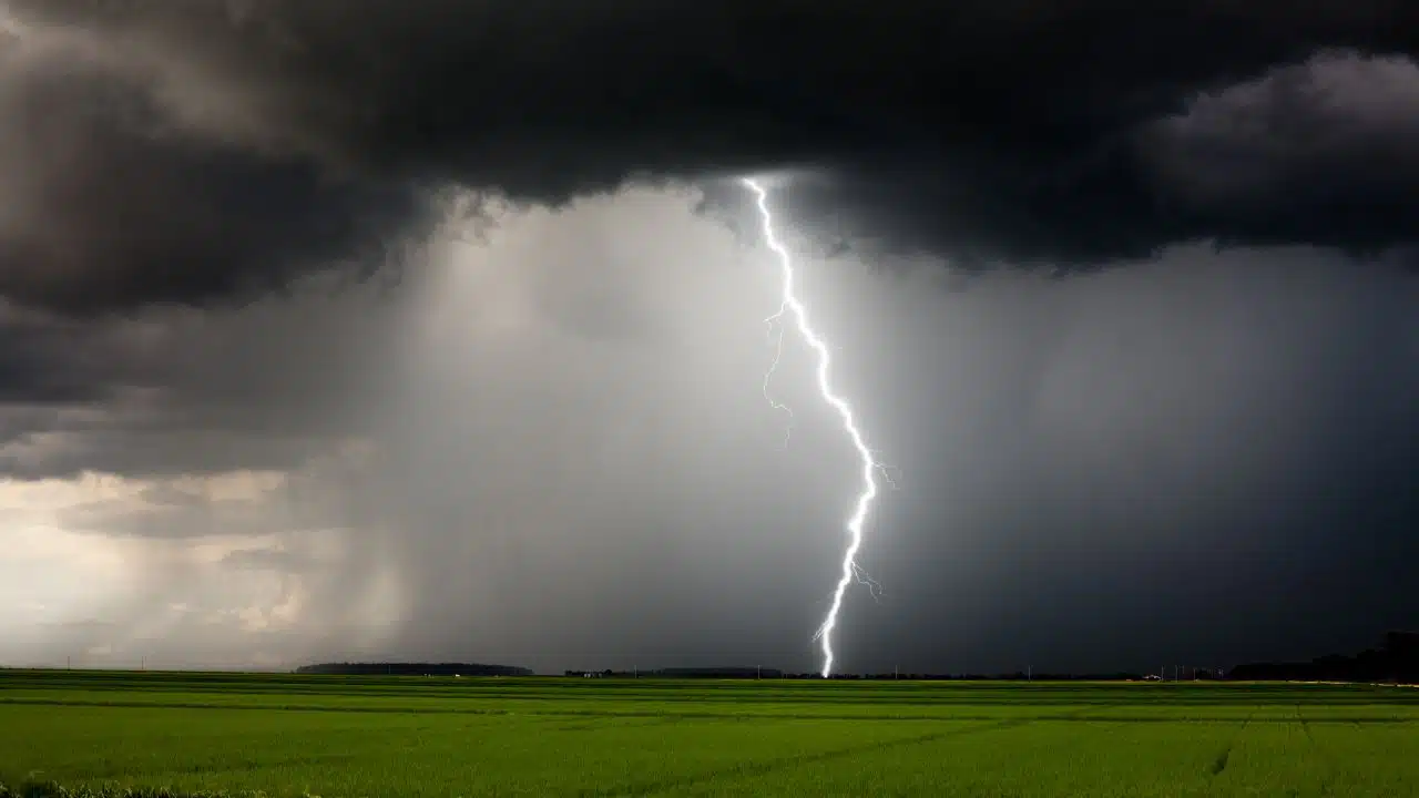
A humid Sunday across the Finger Lakes and Central New York will bring another chance of showers and thunderstorms, especially inland this afternoon, before a cold front ushers in much cooler, drier weather Monday.

Rain from overnight is moving out or becoming more scattered early this morning. Low clouds and patchy fog may linger through daybreak, but breaks in the clouds should allow temperatures to climb to around 80 degrees in many lower-elevation communities, according to the National Weather Service offices in Buffalo and Binghamton.
Sunday morning brings a break for some areas
The steadier overnight rain has already ended across parts of the Southern Tier, while showers have continued farther north across the Finger Lakes and into north-central New York. The remaining morning rain should become less widespread, giving many places a break before the next round develops. Areas near the south shore of Lake Ontario may see more dry time than inland communities as a southwest to west wind influences where showers form.
Morning clouds will be slow to lift in some places, and patchy fog is possible where overnight rain left the air especially moist. The day will not stay uniformly gray: partial sunshine is possible during the afternoon, even where storms remain in the forecast. That sun, combined with the humid air, will help set up the later showers and thunderstorms.
Highs are forecast near 79 degrees around Rochester, the lower 80s near Geneva and Syracuse, and a few degrees warmer in the Ithaca area. Those are representative local forecasts rather than a promise of the same temperature everywhere. Clouds and a passing shower could keep one community cooler while a nearby area gets more afternoon sun.
Afternoon storms carry a limited severe risk
Scattered thunderstorms are expected to develop this afternoon as a cold front approaches from the west. The most concerning corridor for a stronger storm extends from inland portions of the western Southern Tier into the Finger Lakes. Some locations may get only a brief shower or miss the afternoon rain; others could see a downpour and a thunderstorm.
An isolated severe thunderstorm is possible in that corridor, with damaging wind gusts and large hail the primary concerns if a storm intensifies. That is a conditional risk, not a forecast of widespread severe weather. The National Weather Service expects most showers and storms to keep moving, although a brief heavy downpour is possible under a stronger cell.
Farther east, Central New York also has another chance for scattered showers and storms during the afternoon and early evening after a possible morning lull. The Binghamton office expects limited severe-weather potential in its area because the atmosphere may not be especially favorable for robust storm growth, but it has not ruled out an isolated stronger storm. The exact coverage and timing of the afternoon storms remain uncertain.
The heaviest overnight rainfall threat was focused mainly toward northeastern Pennsylvania and the western Catskills, rather than across the entire Finger Lakes. No New York watches, warnings or advisories were listed in either office's early-morning forecast. That does not remove the possibility of a localized heavy downpour during today's storms.
Cooler air arrives Sunday night
The cold front is expected to cross the region this evening. Showers may continue as it passes, then become less common later tonight as drier air arrives. Northwest winds will develop behind the front, and the muggy feel of Sunday should ease by Monday morning.

Lows Sunday night are forecast mostly in the 50s, including the mid-50s around Rochester, Geneva, Syracuse and Ithaca. Clouds may linger for a time after the front, with improving conditions later in the night. Some valley fog could develop in the Southern Tier where winds ease and moisture remains near the ground.
Monday and Tuesday turn dry
Monday brings the clearest change in the five-day forecast. High pressure and a northwest flow will favor dry weather, with morning clouds in some areas giving way to more sunshine. Afternoon highs should reach the mid to upper 60s in many lower elevations, a sharp drop from Sunday's readings near 80. Higher terrain may stay in the lower 60s.
The cooler air will be most noticeable Monday night. Temperatures are expected to fall into the 40s across much of the region under mainly clear skies. Some sheltered Southern Tier valleys could dip into the upper 30s, while more typical forecasts near the larger cities and lakes remain in the mid to upper 40s. The chill will be brief rather than the start of a sustained cold spell.
Tuesday morning may begin with localized valley fog, especially in the western Southern Tier. Otherwise, Tuesday looks dry and mostly sunny as high pressure holds on. Afternoon temperatures should rebound into the mid-70s in many places, with readings around 74 to 76 degrees in the Rochester, Geneva, Syracuse and Ithaca forecasts. The milder air returns before the next system becomes established.
Showers may return during the middle of the week
The dry stretch could start to break down Tuesday night. Moisture is expected to increase as a frontal boundary approaches and slows near the region. Showers and thunderstorms may arrive earlier and be more numerous toward the Rochester area, while farther east the chance appears lower at first. The timing of any overnight rain will depend on how quickly that boundary moves in.
Wednesday is forecast to be warmer than Monday, with highs generally in the mid to upper 70s and periods of clouds and sun. Scattered showers and thunderstorms remain possible, particularly early in the day in some western and central areas. Farther south and east, the chance of rain may be lower during the daytime, illustrating how uneven the next round could be.
The unsettled pattern may persist Thursday as the front stalls near the Finger Lakes and Central New York. Both weather service offices point to additional shower chances, with thunderstorms possible at times, but the placement and timing of individual rounds are not yet settled. Highs are forecast mainly in the upper 70s, and the warmer air will feel different from Monday's brief cooldown.
By Friday, the current local forecasts still show a chance of showers, though they do not indicate that rain would last all day. Temperatures are projected in the 70s, with the timing and extent of any late-week rain still uncertain.

Check the latest forecast at the FingerLakes1.com Weather Center.

FingerLakes1.com is the region’s leading all-digital news publication. The company was founded in 1998 and has been keeping residents informed for more than two decades. Have a lead? Send it to news@fingerlakes1.com.