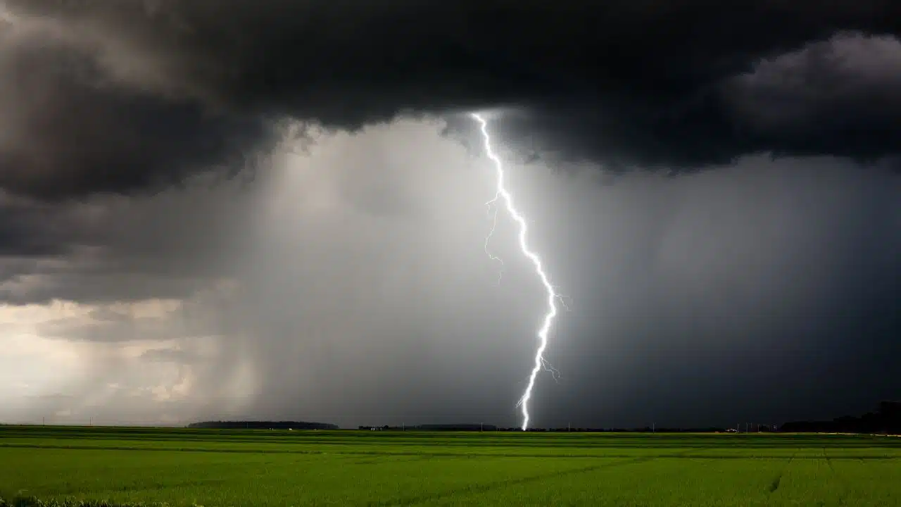
A potent system of severe thunderstorms is bearing down on the Northeast, bringing with it damaging wind gusts, hail, and the risk of isolated tornadoes from North Carolina to New England through Thursday night, according to AccuWeather.
 FL1 FORECAST: Cloudy, cooler Wednesday precedes widespread Friday rain and a Saturday chill
Major delays expected on roads and at airports

Travelers across the Northeast are urged to brace for delays, especially along the heavily-trafficked I-95 corridor. AccuWeather warns of significant slowdowns and possible cancellations at major airports, including those serving New York City, Philadelphia, and Washington, D.C.
“As the storms approach the airports at the major metro areas… airline delays and ground stops will increase dramatically,” said AccuWeather Chief Meteorologist Jonathan Porter. “Such delays and cancellations… result in cascading delays and cancellations” across the country.

Storm threats: damaging winds, hail, tornadoes
Severe weather risks are peaking today with:

- Damaging wind gusts between 60–70 mph, with localized gusts up to 85 mph (AccuWeather Local StormMax™).
- Large hail and urban flooding, especially in areas with already saturated ground.
- Isolated tornadoes, particularly from upstate New York and Vermont through Quebec.
Cities at greatest risk
A moderate risk zone includes:
- Raleigh, NC
- Washington, D.C.
- Baltimore
- Philadelphia
- New York City
- Albany, NY
- Montreal and Quebec City (Canada)
In these areas, power outages are likely due to falling trees and broken limbs, especially where soil remains saturated from recent rains.
What’s next: Heat dome builds this weekend

As this storm system exits, a massive dome of heat is forecast to build across the central and eastern U.S., driving temperatures 5 to 15 degrees above average. Triple-digit heat indices and sweltering humidity are expected from this weekend into next week.

Key Takeaways
- Severe thunderstorms are moving from the Appalachians toward the Atlantic coast through Thursday night.
- Expect travel disruptions, power outages, and dangerous driving conditions.
- A heat wave will follow, impacting millions with oppressive temperatures early next week.

This content is brought to you by the FingerLakes1.com Team. Support our mission by visiting www.patreon.com/fl1 or learn how you send us your local content here.