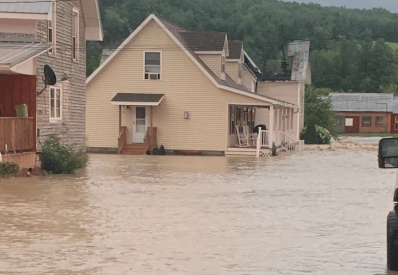

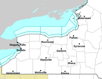
The National Weather Service has issued a Flash Flood Watch for most of the Finger Lakes and Central New York.

Cayuga, Ontario, Schuyler, Seneca, Steuben, Wayne, and Yates counties are all included in the watch after heavy rain on Tuesday set the stage for what could be more widespread flooding today.
It’s going to remain muggy throughout the rest of the week, but air is streaming northward, along with a lot of moisture from what’s left of Tropical Storm Fred.
So, what’s in the forecast for the Finger Lakes today?
Slow moving downpours throughout the day, which will become more widespread during the afternoon hours. There will be parts of the region- especially those in Central New York- where rain will persist, becoming a steady soaker. Those showers and downpours should taper off during the overnight or early-morning hours on Thursday.
There’s a chance for rain on Thursday and Friday- but nothing like what we’ve seen the last two days.
Check out the latest from the FingerLakes1.com Weather Center.

FingerLakes1.com is the region’s leading all-digital news publication. The company was founded in 1998 and has been keeping residents informed for more than two decades. Have a lead? Send it to news@fingerlakes1.com.